Track precise location with Decimal Degrees, DMS, UTM, and MGRS formats. Access topographic maps and route planning. Set waypoints and measure distances. Share coordinates via email or messaging. Sync with GPS devices for real-time navigation.
by NIK PSARAGKATHOS★ 4.73 ratingsNavigationFreeData updated 2026-09-08
Display current direction, altitude, latitude, and longitude. Show real-time barometric pressure and movement speed. Track geographic location. Switch between "Classic" and "Sunset" visual themes with premium color schemes.
The app provides navigation computations for celestial bodies using an internal almanac. It offers solutions for position fixes, sailings, and piloting, including lunar distance and a graphical Sight Planner.
View a monthly calendar combining Hindu lunar and Western solar dates. Highlight festivals like Ekadashi and Poonam. Add personal notes and share reminders with others. Track auspicious timings for rituals and events.
Track with GPS-based real-time analytics. View current , historical data, and location markers. Set limits and receive alerts when exceeded. Export data for review and share results.
Monitor location, heading, pressure, temperature, altitude, speed, distance, and elapsed time in real-time. Track trips, share routes, and receive comprehensive built-in instructions. Customize settings and view data on a large, easy-to-read display.
View monthly calendars with Hindu and Solar dates. Highlight Swaminarayan festivals like Ekadashi and Poonam. Track auspicious timings and observances. Set reminders for festivals and Mandir Patotsav.
Displays speed in knots, km/h, mph, or m/s. Shows current coordinates and altitude. Switch units easily. routes and save with position, distance, and speed data. Logs stored as GeoRSS in iCloud for cross-device access.
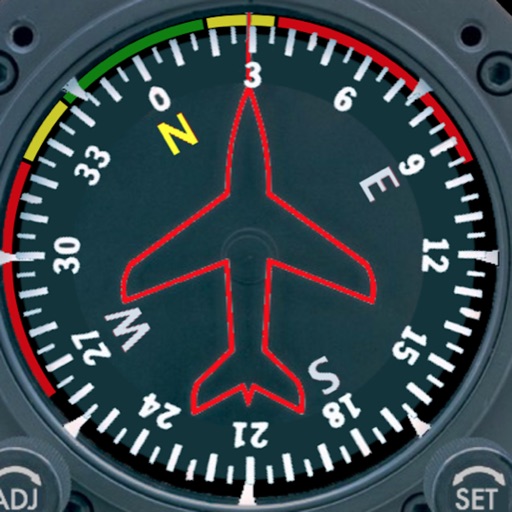
Displays a photorealistic -style indicator with both analog and digital readouts. Users can toggle rotation lock, simulate the instrument indoors, and view improved graphics. Supports latest iOS versions and includes bug fixes.
Determine flight path relative to objects by positioning the sight target on cloud tops, mountain passes, or other aircraft. Receive visual indication of whether the object is higher or lower and the degree difference.
GPS OS allows users to determine their location on Ordnance Survey maps of Great Britain and Ireland without needing a phone signal. It provides high-accuracy positioning using OSTN15 transformation data.
Measure and map 3D terrain with X, Y, and Z coordinates. Save, email, or upload data to CAD. Calculate slope percentages and elevation above sea level. Include photos with location data and use built-in compass for accurate orientation.