Apps Like Planimeter Pro for map measure for iPhone and iPad
Distance and area on maps
Distances and areas on satellite maps. Select objects like lawns, roads, and buildings. Save and share measurements. Export data in various formats. Sync with other apps for project planning.
by 忠 张★ 4.3921 ratingsUtilities$3.99Data updated 2026-10-26
Record and display GPS-based measurements with a map line. Share results on social media. Obtain current location via GPS. Option to minimize battery use without GPS. Does not run in the background.
Plan routes and save them for future use. Create and manage tracks with waypoints. Share routes with friends. Download maps for navigation. Mark locations and export tracks in GPX format. No ads and no time limits for use.
Measure sound levels in decibels using device microphone. Display average, max, and min decibel values. Show real-time peak and average graphics. Calibrate for accurate readings. Choose measurement frequency. Record audio and save files.
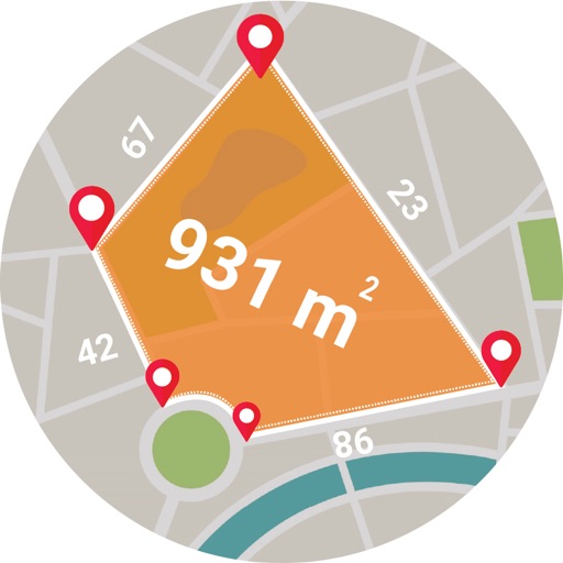
Calculate areas, plots, and distances using GPS technology. Draw and map regions on a map. Measure perimeter and of custom shapes. Save and share measurement data. Export maps in various formats.
Displays real-time traffic and satellite views. Shows current location and allows address input. Measures land area and calculates radius and corners. Shares location via email, SMS, or social networks. Auto-updates direction based on movement.
Objects using an augmented reality camera interface. Select units like inches, feet, centimeters, or meters. Capture and save measurements. Share results via email or messaging. Sync measurements across devices.
Navigate off-road trails and remote areas with maps and turn-by-turn directions. Mark waypoints, track routes, and view elevation data. Access terrain details and compass navigation without internet connectivity.
Distances and areas using a map interface. Start recording by pressing the record button and stop with the stop button. Pause to add new sections. Tap labels to remove sections or the start point. Manage measurements by connecting points.
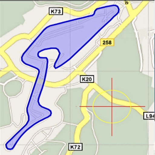
Area, lengths, and angles on maps using an interactive crosshair. Trace outlines to create connected points, updating area and perimeter in real time. Adjust radius for scaling features. View dynamic length and angle as you move the crosshair.