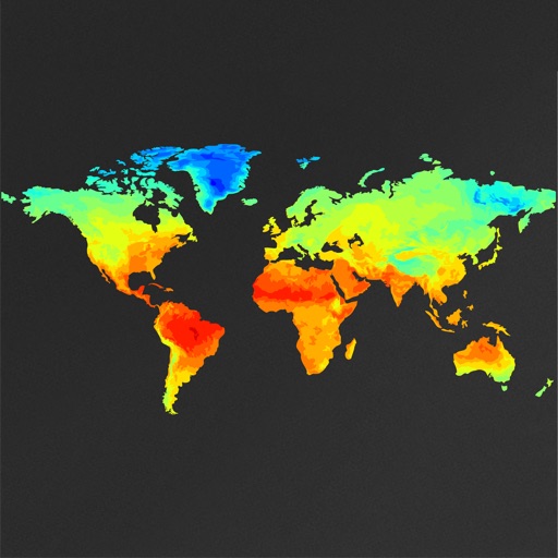
View global weather data with interactive map panning and zooming. Switch between weather layers for current and forecasted conditions. Track detailed weather changes up to 0.25 degrees on land or sea.
by Michal Frankowski★ 4.7539 ratingsWeather$2.99Data updated 2026-09-25
The app provides current conditions, hourly and 7-day forecasts, and weather alerts. Users can view an interactive radar map and submit local weather photos or videos.
The app provides hour-by-hour and ten-day forecasts. It includes radar with detailed overlays and local weather conditions from the KOMU 8 First Alert Weather team.
The app provides live weather updates, including current temperature, sunrise and sunset times. It offers animated radar maps for precipitation and 14-day trend graphs for planning.
Display current conditions, temperature, and forecasts with animated scenes matching the . Choose from various types or random scenes. View national and world data. Adjust settings to customize the display.
The app displays world rain radar, satellite imagery, and earthquake data on a Google Map. It provides weather information including temperature, wind, humidity, pressure, and cloud coverage, along with forecasts.
The app provides access to device GPS functionality, displaying heading, compass, map views, speed, distance, coordinates, and altitude. It also offers weather information including temperature, humidity, pressure, cloud cover, and wind speed.
The app displays meteograms with weather data for any location. It shows past conditions and future forecasts using multiple weather models, with 14 days of history and forecast data available.
Tap on a map to view spot-specific forecasts. Check , sky, wind, and wave conditions. Access severe advisories and offshore zone summaries. View hourly tides and interactive tide graphs.
The app displays current national and world weather conditions, temperature, and forecasts with animated scenes. Users can select scenes to match their mood or view random weather.
View current conditions and sea surface temperatures on a detailed map. Pan and zoom to explore data locally or globally. Check temperature, precipitation, and details. Share information with others.
View short-term (24-hour) and long-term (14-day) forecasts for any region. Check for upcoming days with details on air pressure, clouds, wind, rain, snow, fog, visibility, waves, and ocean currents.
Check current and 7-day forecasts with hyperlocal temperature details. Track storms, rain, wind, and hurricanes via real-time radar. Receive alerts for severe like lightning or tornadoes. View hourly updates and 15-day forecasts.
Find fishing using detailed with depth and clarity layers. View real-time reports and set custom waypoints. Access tackle recommendations and shop over 25,000 products. Earn 10% credit back on purchases.
Track hurricanes, cyclones, and tropical storms with interactive maps and real-time updates. View NOAA forecasts, satellite imagery, and historic storm data from 1851. Set weather alerts and receive storm warnings directly.
Track real-time wind speed, direction, and wave height for specific sailing locations. View live forecasts and historical data. Set alerts for changing conditions. Share updates with other sailors. Sync with GPS for precise location-based reports.
Track and times, day length, twilight, golden hour, solar power output, and UV Index using an interactive solar disk. Switch to Weather Mode for temperature, precipitation, wind speed, and humidity data.