The app displays geographic data on a map for searching buildings, rooms, and locations at CERN. It offers offline functionality, routing with three travel modes, and shuttle schedules with full CERN coverage.
by CERN★ 5.01 ratingsNavigationFreeData updated 2026-09-23
Display current direction, altitude, latitude, and longitude. Show real-time barometric pressure and movement speed. Track geographic location. Switch between "Classic" and "Sunset" visual themes with premium color schemes.
Track and distance in miles and kilometers with real-time updates. Switch between KM/H and MPH modes. Display average and maximum . Show altitude and compass. Monitor GPS signal accuracy. Use analog . Work offline without internet.
Monitor real-time MTA bus schedules and track bus locations via GPS. View arrival predictions and route maps. Receive notifications for schedule changes and service alerts. Share trip details with others.
Track bus locations, routes, and estimated arrival times in real-time. View grouped stop information with clearer ETA displays. Submit feedback to improve ETA accuracy. Search for buses or routes with a cleaner interface and more map space.
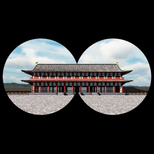
The app provides a time travel experience in Kyoto, recreating the Imperial Court Compound of the Heian Era. Users can explore 360-degree scenes of ancient Kyoto based on their location and orientation, with detailed descriptions of buildings.
Book rooms and events with calendar integration. Make purchases directly within the . Connect with community members through messaging and event listings. Track bookings and receive notifications for updates.
The app displays map coordinates in multiple grid formats including British Grid, Irish Grid, MGRS, and UTM. It also shows Latitude & Longitude in decimal and sexagesimal notation for global use.
Displays current location on a map and updates as you move. Uses reverse geocoding to announce street addresses aloud. Shows detailed maps for driving, riding, or walking. Tracks proximity to buildings and residences with synthesized speech.
Save car locations using GPS without maps. cars with a pointer without maps. Set map rotation for better orientation. Enable location history for past saves. Access advanced settings for customization.
Provides a 3D floating with realistic OpenGL graphics. Users can switch between nine modes, including direct read, traditional, and rosette styles. It displays degrees, quads, or mils.
Navigate University with a detailed map and route planner. Search for buildings, residences, sports facilities, and dining locations. View up-to-date information including phone numbers, hours, and websites.
Create 3D plans from uploaded images. Furnish rooms using extensive furniture libraries. Generate high-resolution images for presentations. construction projects or home setups. Export and share 3D designs.
Navigate public transport with detailed and subway maps. Find routes offline without internet. Plan trips by viewing fastest paths and transfer points. Access station listings for quick navigation.