
Princeton Campus Map
Navigate with real-time maps and route planning
Princeton University
iPhone Screenshots



Description
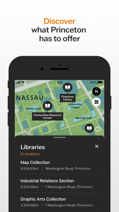
Navigate University with a detailed map and route planner. Search for buildings, residences, sports facilities, and dining locations. View up-to-date information including phone numbers, hours, and websites.
Easily navigate Princeton University’s campus with this accessible map and route planner.
The Princeton Campus Map app allows users to simplify the journey around campus. By using the app’s search function, it helps visitors to find key destinations including campus buildings, residences, sports facilities, and dining locations. The app also provides up-to-date information on points of interest including phone numbers, hours of operation, and relevant websites.
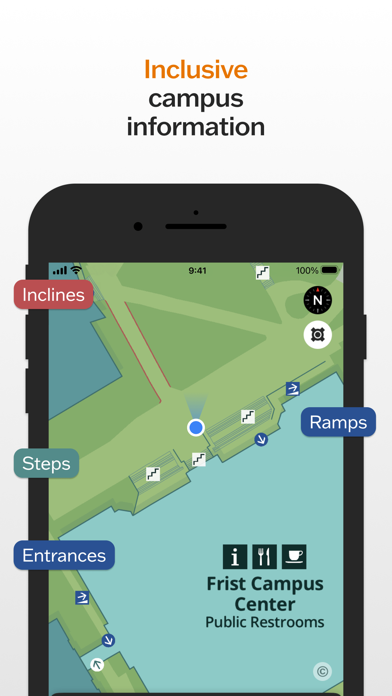
As an intelligent route planner, the app allows users to plot a path between campus locations. Built-in accessibility features provide ‘step-free’ navigation options that avoid, for example, stairs and steep inclines.
The Campus Map also features real-time information for TigerTransit bus services. With this feature, users can access bus routes, live departure times, and real-time bus locations.
The Princeton Campus Map app is part of an effort to help the campus community and University visitors better navigate Princeton’s expanding campus. It is designed to make the University campus as accessible and inclusive as possible. We value your experiences and encourage the Princeton community to send feedback as we continue to improve the app.