The app provides coordinates, direction, and elevation above sea level. Users can save locations by searching and tapping on the map, then send this information via email, Twitter, or SMS.
by Blue Blink One, SL★ 3.03 ratingsUtilitiesFreeData updated 2026-09-22
Mark locations using GPS and return to them. Navigate with turn-by-turn directions. Save and recall favorite spots. Share coordinates with others. Sync with maps for real-time updates.
The app provides personal and prevention safety with active support. It allows for geo-localization and specific plans of action for each report, offering confidence in professional or private life.
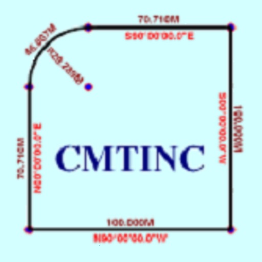
The app converts real property descriptions into boundary maps. Users enter angles and distances to draw property boundaries, displaying closure error, total area, and perimeter.