The app offers self-guided walks through cities, featuring attractions and hidden gems. It includes a functional city map with search and location bookmarking, allowing users to track steps and share photos.
Plan trips by analyzing speed limits and unlimited sections along routes. View detailed maps with speed zone information. Explore highway data and historical speed records. Save and share route details with specific speed restrictions highlighted.
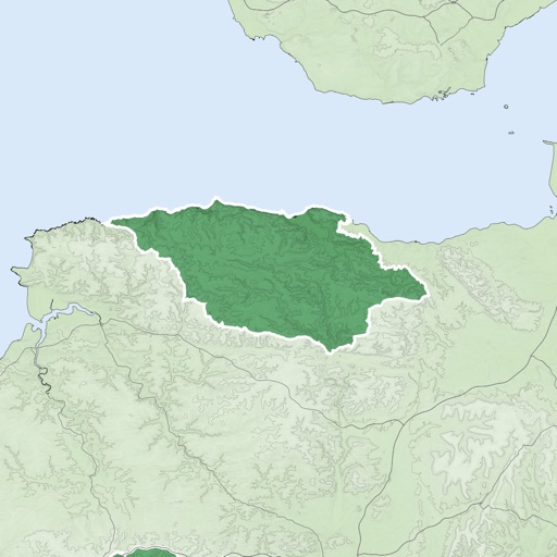
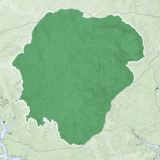
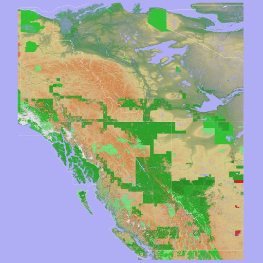
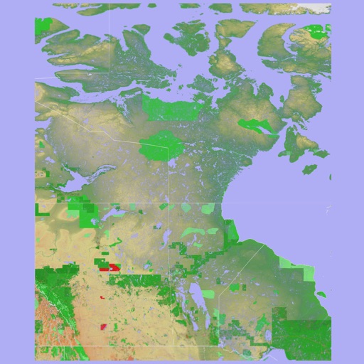
The app provides a 3D topographical map of Western Canada. Map data downloads to the device for use without an internet connection, allowing users to view terrain features as small as ten meters.