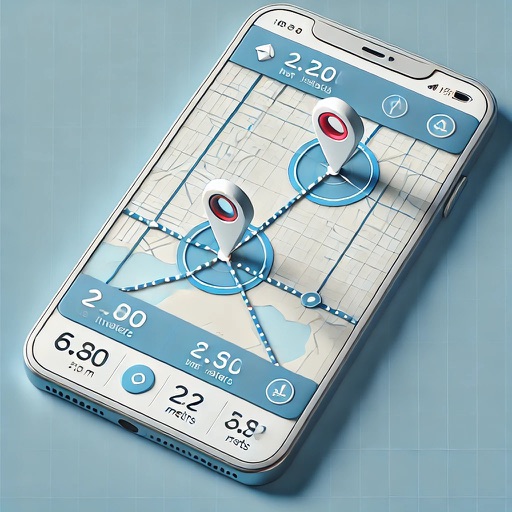
The app measures distances, perimeters, and areas with precision over satellite images. It calculates surface areas, dimensions for fencing, and more without needing to be on location.
by Blue Blink One, SL★ 4.6821 ratingsUtilitiesFreeData updated 2026-09-20
Navigation allows users to view detailed maps with higher resolution and more street names. Display four times more map content on the screen. Includes sharper satellite imagery and points of interest. Adjust map scale for comfort.
Measure angles using camera view with touch or plumb bob methods. Set angles on screen or through camera. Switch between measurement modes. Access advanced polygon measurement in premium version. Calibrate plumb bob for accurate slope readings.
Track , distance, and performance with real-time GPS data. Display in mph and km. Log trips and view historical records. Set alerts and monitor journey details. Sync data across devices for ongoing performance analysis.
Measure angles with precision up to 0.02°. Use surface and auto-select features for accurate readings. Convert angles between degrees, grade, and roof pitch. Includes a ruler for actual size measurements. No advertisements.
Organize and store data with customizable categories and templates for bank info, credit cards, and media. Secure data with passcode and theme customization. Share content via AirDrop, Mail, Messages, Twitter, or Facebook.
Provide turn-by-turn navigation with real-time GPS and live traffic updates. Compare multiple routes by time and distance. Recalculate routes dynamically as you drive. Control music, contacts, and other vehicle features from the iPhone interface.
Land using GPS technology. Define boundaries on maps to calculate plot sizes. Calculate distances and areas for properties or regions. Save and share measurement data. Sync with mapping services for accurate results.
Measure physical objects and distances using augmented reality. Tap to capture point-to-point measurements. Choose metric or imperial units. Save and store measurements for future reference.
Measures intensity in lux and foot candles. It provides real-time color temperature readings. Users can adjust exposure settings and save measurement data for later review.
Explore power-line maps to estimate EMF exposure in milligauss units. Search addresses globally to access over 20 million power-line objects. Create pins to save and revisit favorite locations.
Distances between points or calculate area of locations. Draw paths on maps or tap to add points. Record movement automatically while walking, running, or cycling. Save measurements for later review.
Distances and heights using the camera. Calculate surface area and perimeter. Generate 3D models from photos. Use a bubble level and slopes. Perform various geometric calculations with precise camera-based measurements.
Measure distances between locations by pinning points on a map. Track real-time distance using GPS with a timer. Switch between metric and imperial units for distance measurements.
Measure and draw simultaneously using Bluetooth-connected devices. View measurements in 2D and 3D with multiple visualization options. Edit and save measurement data directly on the device. Export and share measurement results.
Uses device sensors to locate hidden metallic objects. Bubble level offers three viewing modes for precise leveling. AR ruler measures distances by pointing the camera at objects.