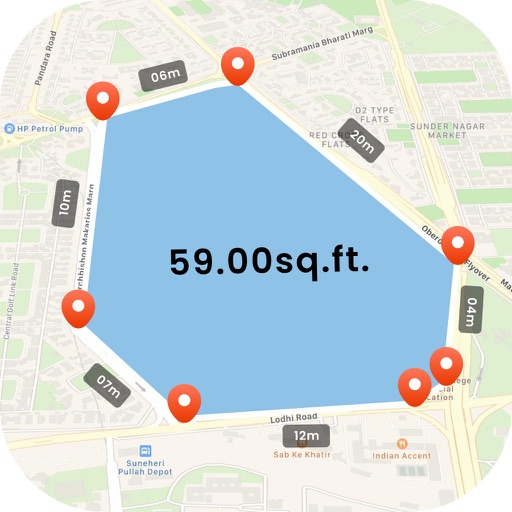
The app measures distances, perimeters, and areas with precision over satellite images. It calculates surface areas, dimensions for fencing, and more without needing to be on location.
by Blue Blink One, SL★ 4.6821 ratingsUtilitiesFreeData updated 2026-09-20
Create and manage custom circles on Google Maps with precise mile measurements. Add markers and save locations for real estate, delivery, or business planning. Export map data and share visualizations for location-based analysis.
Measure distances by dragging a finger across the map to calculate route lengths. Center on current location with the locator button. Clear routes by shaking, using the trash button, or dragging again.
Displays speed and direction on the windshield via iPhone placement. Tap to switch between mirrored and un-mirrored views. Tap MPH/KPH button to change units.
Get accurate GPS and latitude longitude instantly. Display in multiple formats including DMS, UTM, and MGRS. Convert between coordinate systems. Share precise location data directly.
Access real-time location and location history of GPS trackers with playback. Switch between map and satellite views. Receive alerts for movement, speed changes, or status updates. Create geofences to notify when entering or exiting specific areas.
Reader tool allows users to read and listen to books. Ruler tool measures length, breadth, and height of objects. Protractor tool measures angles of objects. Slope tool calculates the incline of structures. Activity track daily tasks and progress.
Rotate and zoom the 3D world map to explore locations in real-time. famous landmarks and global wonders with detailed descriptions. Access live camera feeds and location-based views to see current scenes around the world.
Locate and navigate to graves of Tzadikim and Rabbanim in real time. Choose between miles or kilometers. View locations of over a thousand graves across Israel, Europe, Morocco, North Africa, and the Middle East. Search by country or region.
Visualize around map pins to compare distances. Set up to three per pin. Search locations and check nearby points of interest. Switch between standard and satellite map views. Automatically save pins for future reference.
The app measures angles and aligns objects using the camera. It offers a distance/height estimation tool and a traceable level for various measurements.
Create detailed floor plans using 3D measuring tools. Measure objects or rooms by taking photos or using the screen. Leverage AR to visualize dimensions and spatial relationships. Export plans and share them directly.