

Apps Like FlyBy Nav for iPhone and iPad
Flight planning made simple for pilots.
The app displays track, heading, distance, ground speed, time enroute, ETA, and fuel burn on one screen. It includes METAR and TAF weather access and 55,000 airports and navaids offline.
FlyBy Nav screenshots
Ranked alternatives
Showing 441–460 of 1,000 ranked alternatives.

Fly Air
FLY AI INC.
Book flights, reserve jets, pay instantly
Book private chartered flights by searching, reserving, and paying on-demand. Access a global inventory of 3600 aircraft. View flight details, pricing, and aircraft specifications. Receive Fly Miles as rewards for bookings.


Maine Lakes - GPS fishing maps
Flytomap
Navigate with marine and outdoor
Navigate with marine and outdoor offline. Overlay satellite and terrain data on charts. Access local weather forecasts. View worldwide and satellite imagery when connected. Use NOAA raster data for detailed navigation.


iTacTic
3B Soft srls
Track race routes and export GPS data
Configure sailboat performance settings from 2-20kn and set start line, wind direction, and intensity. Track real-time GPS data during races and record performance continuously in the background.


GA Flight Tracker
Gorkem Yuksel
Track flights, navigate routes, monitor weather
Track paths and monitor aircraft positions in real time. View weather data and airspace restrictions. Access preloaded charts and navigate without an internet connection. Set alerts and receive notifications for potential hazards.

Tides US
Loft Labs Interactive Inc
Live tide information for planning activities.
The app provides live tide information for planning activities. Users can view tide graphs, moon phases, and sunrise/sunset times for approximately 1870 stations across the US and Canada.

NavTutor
DID Software Inc.
Learn aircraft holding pattern entries visually.
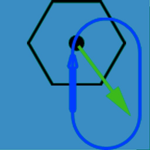
The app visually represents an aircraft and a holding pattern relative to a navigation aid. Users can learn to determine their position using ADF, VOR, and heading information, and identify correct entry patterns for standard and non-standard holds.

Dashometer
Ian Ray
Track trips, share routes, and monitor location
Monitor location, heading, pressure, temperature, altitude, speed, distance, and elapsed time in real-time. Track trips, share routes, and receive comprehensive built-in instructions. Customize settings and view data on a large, easy-to-read display.

Distance Measure Pro
Robin Betjes
Measure distances and areas on maps.
The app measures distances between map waypoints and surface areas of polygons. Users can select measurement units including kilometers, miles, and nautical miles.

Tactiqs
Marine Ventures LLC
Track race conditions and course data
Monitor boat performance with real-time sensor data from a wireless NMEA interface. View customizable displays on multiple iOS devices. Analyze race course conditions and track race progress.

Harry's GPS/OBD Buddy
Harald Schlangmann
Track trips, record data, and forecast arrival
Track trips with distance, time, and average speed calculations. Forecast arrival times using waypoints. Monitor GPS and OBD sensor data in real time. View detailed vehicle performance metrics. Sync with external GPS devices for enhanced navigation.


How we rank alternatives
Apps are ranked by functional similarity, category fit, rating confidence, and popularity.