

Apps Like Azimuth Maps for iPhone and iPad
Map reference area orientations easily.
The app displays the orientation of reference areas on a map. Users can view cardinal orientations at 30°, 60°, or 45° intervals, with 12-direction display supported.
Azimuth Maps screenshots
Ranked alternatives
Showing 841–860 of 1,000 ranked alternatives.


Kathmandu Map and Walks
GPSmyCity.com, Inc.
Explore , discover landmarks, follow routes
Explore self-guided walking tours with detailed city maps to navigate attractions and hidden spots. Locate points of interest, track your route, and access audio guides for each tour. Save favorite locations and share maps with others.

GPS Maps Camera
KRUTAGNA INFOTECH
Capture photos with GPS and map data
Capture photos with integrated map data and weather information. Adjust settings including grid, aspect ratio, and manual map options. Edit images with map overlays and share directly.

GB Grid Ref Compass
Michael Irving
Locate yourself on Great Britain.
The app displays the user's current location on a map of Great Britain. It provides the GB Grid Ref, compass bearing, and latitude/longitude in OSGB36 and WGS84 formats.

Terrafin Mobile
Terrafin Software
Satellite data for anglers divers researchers
The app provides subscribers with access to satellite data for fishing, diving, and research. Users can browse and download charts to their device for offline use, with features like waypoint marking and real-time vessel location display.

Mainz Map and Walks
GPSmyCity.com, Inc.
Explore , discover landmarks, navigate cities
Explore self-guided walking tours of the city with detailed maps and routes to popular attractions and hidden spots. Navigate using an interactive map to find points of interest. Track your progress and discover new locations at your own pace.




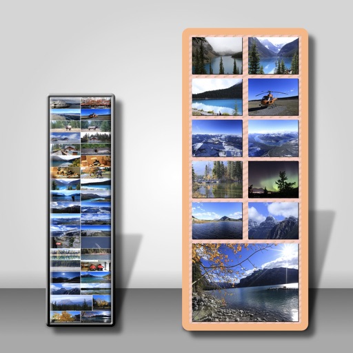


Topo maps - Norway
Shingle Oy
Detailed topographic map of Norway.
The app provides detailed topographic maps of Norway for offline use. Users can download map areas, record tracks, plan routes, and measure distances and angles.
Distance - Bearing Calculator
Joe Scrivens
Calculate distance and bearing between points.
The app calculates the distance and bearing between two co-ordinated points. It is useful for site setting out engineers and land surveyors.


Augport: Airport Finder HUD
Toonsy Net
Find airports with essential data.
The app provides a heads-up display of airports and essential information, including distance, bearing, elevation, and runway length. Users can filter results for paved runways over 10,000 feet.

How we rank alternatives
Apps are ranked by functional similarity, category fit, rating confidence, and popularity.