

Apps Like GIS Kit for iPhone and iPad
Cache maps, view data, explore terrain
View and analyze geographic data offline without GIS software or training. Download topographic, street, and satellite maps. Import ESRI Shapefiles and KML/KMZ files. Display attribute fields like descriptions, photos, addresses, and dates.
GIS Kit screenshots
Ranked alternatives
Showing 721–740 of 1,000 ranked alternatives.


Photo Mapp: An Accurate Story
Storm Geomatics Limited
Create photo location documents instantly.
The app combines maps, photos, company logos, and geotagged data to create instant working documents. Users can add text to photos, personalize documents with a logo, and choose from five styles.

Apglos Survey Wizard
Apglos BV
With GNSS and map terrain
Allows users to perform land surveying with centimeter-level accuracy using an external GNSS receiver. It provides measurement tools, data recording, and map visualization. Users can save and export data.

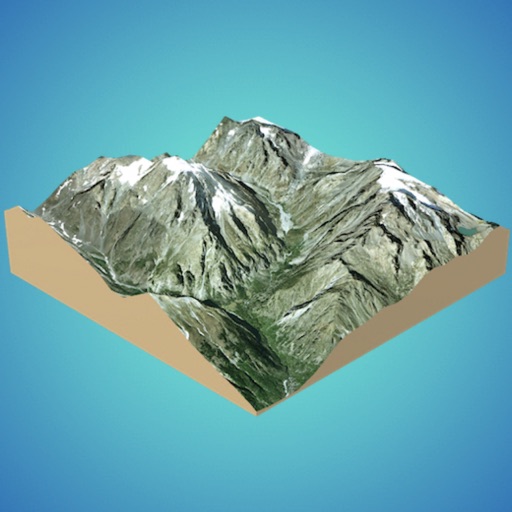
3D GIS Digital Elevation Model
Andres Narvaez
Generate 3D models from internet or cloud
Create 3D models from online sources like Bing Maps or local cloud points. Export data as CSV, TXT, STL, or OBJ. Modify models by cutting, scaling, and animating. Calculate surface areas and volumes in real-world units.



TrailTrack Path
David Munoz
Track trails, map routes, and log hikes
Allows users to track trails with real-time GPS and high accuracy positioning. It offers multiple map layers including OpenStreetMap, Satellite, Terrain, and Topographic views.

iMapIt Lite
Marcus B B E Silva
Map, measure, and record places.
The app collects geographic coordinates using the device's GPS to map, measure, or record important places. Users can mark specific points, record lines or paths with measurements, and define areas or polygons for land or building outlines.




Tractor Zoom Pro
Tractor Zoom, Inc
Catalog equipment, inspect, appraise, and value assets
Digitally catalog equipment with image capture and custom data entry. Update equipment details and valuation on-the-go. Sync data between field and office for streamlined appraisal and inventory management.



How we rank alternatives
Apps are ranked by functional similarity, category fit, rating confidence, and popularity.