
Japanese Islands
Takafumi AMANO
Explore Japan's Archipelago Data
The app provides data for around 6,000 Japanese islands. Information includes names, location, area, population, and other attributes.

Cache maps, view data, explore terrain
View and analyze geographic data offline without GIS software or training. Download topographic, street, and satellite maps. Import ESRI Shapefiles and KML/KMZ files. Display attribute fields like descriptions, photos, addresses, and dates.
Showing 661–680 of 1,000 ranked alternatives.
Takafumi AMANO
Explore Japan's Archipelago Data
The app provides data for around 6,000 Japanese islands. Information includes names, location, area, population, and other attributes.



4GEO OOO
Map directory and navigation for cities.
The app provides a directory of organizations with city maps for Montenegro, Serbia, and Russia. Navigation and the business directory function without an internet connection.


Kevin Siml
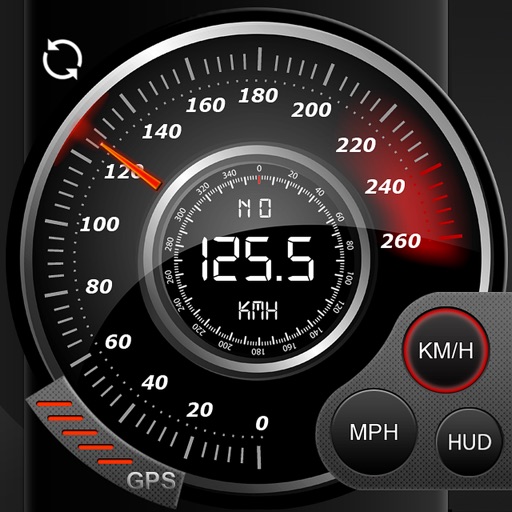
Track , distance, and
Record data including , average , distance, altitude, and elapsed time. View real-time GPS tracking with longitude and latitude. Monitor statistics and save history. Sync with devices for offline navigation.

jesus homes
Canadian steel sections database reference
The app provides access to the Structural Steel Sections Database. It displays mechanical and geometrical properties in metric units for various section types.



Jiri Kaminek
View cadastral information about parcels
The app provides a comfortable interface for viewing cadastral information in the Czech Republic. Users can find details about objects and parcels, including area, owners, and protections.





Unit4 R&D AS
Respond to work items on the go.
The app allows users to respond to work items on the go, routing tasks to the next stage within the business process. It provides real-time sync of tasks and enables users to approve, forward, or reject tasks.
Apps are ranked by functional similarity, category fit, rating confidence, and popularity.