
We Maps
Makoto Katsumata
Navigation and street view app
The app provides auto navigation for the current location and allows users to create routes on Google Maps. It includes the latest street view, traffic data, and four map types.

Maritime weather for navigation and sailing.
The app provides current and future weather conditions for maritime navigation. It offers detailed weather maps and reports for the North Sea, Baltic Sea, and Mediterranean, including wind and analysis maps.
Showing 401–420 of 1,000 ranked alternatives.
Makoto Katsumata
Navigation and street view app
The app provides auto navigation for the current location and allows users to create routes on Google Maps. It includes the latest street view, traffic data, and four map types.

LIN Television Corporation
Weather forecasts and storm alerts.
The app provides hour-by-hour forecasts and severe weather alerts. Users can track storms with interactive radar maps and receive updates for multiple locations.

KHQ Incorporated
Central Washington's Top News Source
The app provides Central Washington's top-rated news coverage. It reports on breaking news and weather conditions relevant to the user's neighborhood.

Electronic Chart Centre AS
Maps and charts for land and sea.
The app provides map display for land and sea with multiple map layers including OpenStreetMap and Apple Maps imagery. It offers features like offline map data, places of interest search, and waypoint management with GPX file support.

City of Jacksonville
Monitor weather and plan evacuations
Monitor weather threats and track evacuation zones using GPS. Access real-time alerts, wildfire updates, and emergency news feeds. Plan for evacuations with current threat levels and weather reports.

i3 Product Development, Inc.
Map trails, record tracks, explore offline
Navigate off-road trails by dropping waypoints and recording tracks. Explore curated trails and points of interest. Receive real-time hazard alerts and trail conditions. Download maps for offline use. Access detailed weather and elevation data.

USNaviguide LLC
See images and current conditions
View real-time images and current conditions. Tap to zoom and pan across maps. Receive alerts for severe . Share images via social media or email. Sync with location for automatic updates.

Ruby Shore Software, LLC
News, sports, and weather updates.
The app delivers continuous news, weather, and sports updates 24/7. Users receive breaking news, severe weather alerts, and on-demand content, including weather forecast maps as seen on air.

Chris Carcerano
Track turbulence and view weather maps
View turbulence reports and overlays on Apple Maps. Access hundreds of aviation and weather maps. Filter turbulence data by time and altitude. Share turbulence maps with others. Retrieve detailed turbulence information with a tap.

Prachi Pimpalkhare
Maritime reference and learning companion.
The app provides an intuitive maritime reference and learning companion for sailors. It features illustrated signals, a complete COLREGs reference, and interactive quizzes to test knowledge.
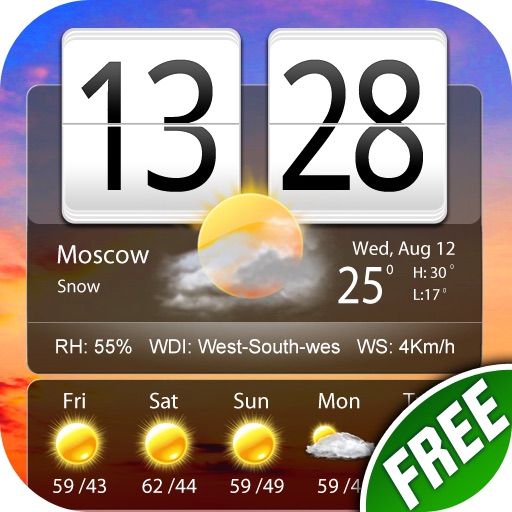
小龙 傅
Live weather reports and world clock.
The app provides weather reports for over 5 million cities, including a four-day forecast. It displays current weather conditions with dynamic backgrounds and includes a world clock with voice alerts.

Anthony Piscopo
Check sea surface temps and ocean conditions
Monitor marine conditions for fishing and boating. View wave forecasts and NOAA ocean data. Check sea surface temperature, chlorophyll levels, and water clarity. Access real-time tide information and sun/moon phases.

Valentina Selezneva
Check current weather and forecast
View current weather and forecasts for your location or selected city. Display temperature, precipitation, and wind conditions. Show a character dressed in appropriate clothing based on the weather.


Allen Media Broadcasting LLC
Access weather information for users.
The app provides current weather information, daily and hourly forecasts, and severe weather alerts. Users can save locations and receive push notifications for safety.

P4G Pty Ltd
Up to the minute wind information Hobart.
The app provides current wind information for Hobart, Australia. It displays wind data sequenced by proximity and offers detailed weather conditions, a map view, and 24-hour wind graphs.

WxByte LLC
Create maps with satellite weather data
View real-time weather data from GOES satellites and mesoanalysis layers. Create custom maps with multiple data sources. Access free satellite layers or subscribe for advanced features. Share maps and save presets for future use.

Udo Riedel
Pocket weather briefing for pilots.
The app provides aviation weather information, including METAR, TAF, and SIGMET data. Users can view current weather on a map and access most data offline for use during flights.

Local TV LLC
Track weather, radar, and forecasts
Check current weather with frequent updates. View high-resolution satellite imagery and 250-meter radar. Access future radar for severe weather tracking. Save favorite locations. Use integrated GPS for location-based forecasts.

Mach Software Design
Hurricane tracking and local weather.
The app provides hurricane tracking, radar, and local weather information. It features global and local radars, textual forecasts, projected and historic tropical cyclone paths, and sea temperatures.
Apps are ranked by functional similarity, category fit, rating confidence, and popularity.