
iPhone Screenshots

Description
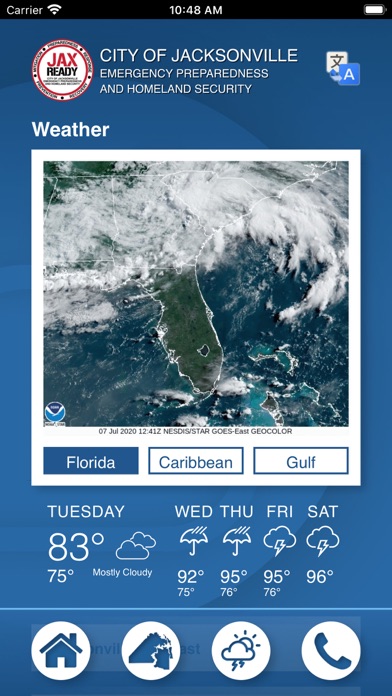
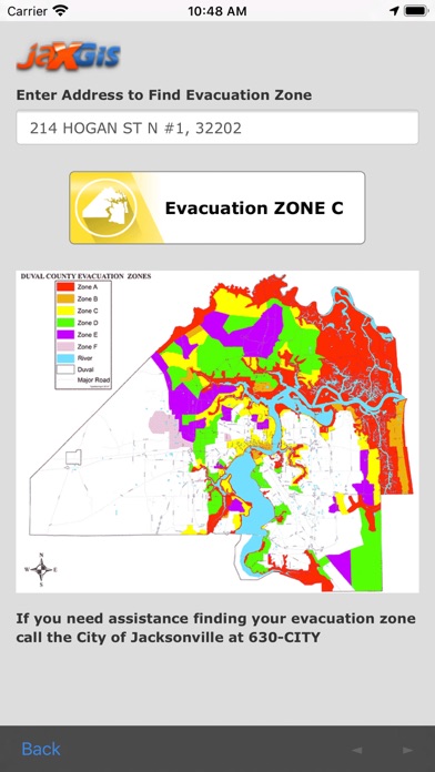
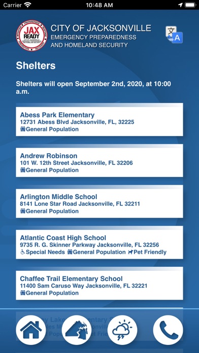
Monitor weather threats and track evacuation zones using GPS. Access real-time alerts, wildfire updates, and emergency news feeds. Plan for evacuations with current threat levels and weather reports.
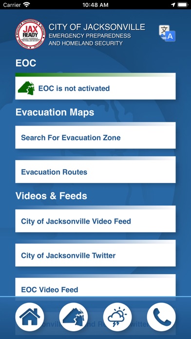
Are you ready? JaxReady— brought to you by the Emergency Preparedness Division and Information Technologies Division of the City of Jacksonville, Florida— will help you monitor weather threats and plan for evacuation in the event of a natural disaster. JaxReady provides access to current threat levels, weather reports, and wildfire updates, as well as up-to-the-minute news feeds for emergency preparedness and evacuation.
Features
•GPS functionality for locating your Evacuation Zone
•Current Emergency (EOC) Activation Level, Weather Threat Level, and Fire Danger Index based upon your geolocation
•Links to special needs registration for those with special medical needs during an evacuation
•Weather and fire news
•Weather, wildfire, and drought index maps