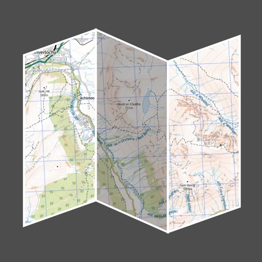
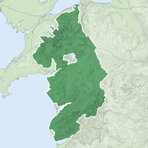
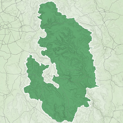
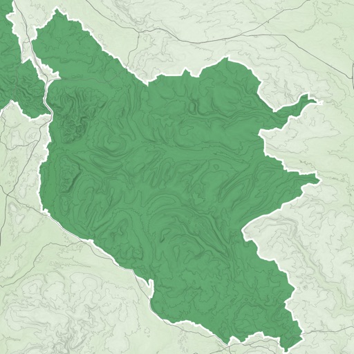
Track outdoor activities like hiking, biking, walking, and running with GPS. Save and navigate to waypoints. Store favorite destinations. View activity logs and maps. Share routes and track progress.
by David Morneault★ 4.717,563 ratingsNavigationFreeData updated 2026-09-08
Track flights in real time with interactive maps worldwide. View departure and arrival boards for airports. Monitor flights of friends or family. Receive alerts for status changes. Share data via social media.
Access real-time sea surface temperature maps, high-definition satellite imagery, and marine weather . Track water color, currents, tides, and moon phase. Mark and save GPS locations for temperature breaks and color barriers.
View high-resolution NPS of and Grand Teton National Parks. Track real-time location on . Download USGS topographic for offline use. Access detailed terrain and park boundaries without internet.
Track game movement with GPS and maps. Access real-time weather data and target area forecasts. Use 200+ professionally recorded for . View peak game times and species lists. Set shooting directions and monitor conditions.
Track pot depths, locations, and catch totals. Access NOAA marine maps with water depth data. Navigate to pots using map and compass. View heatmap modes for map navigation. Add notes to individual pots.
View and analyze satellite imagery for fishing conditions. Locate and track fish populations. Set waypoints and save maps. Share images and data with other users. Receive real-time updates on weather and currents.
’n detects blood trails using machine vision and color-isolation technology. Users receive alerts and can map blood trails. The includes land ownership for tracking game. Features include blood detection, mapping, and land ownership information.
Navigation provides offline global maps for iPhone and iPad. Users can draw routes, view elevation profiles, and access detailed terrain maps without internet. Hikers and cyclists benefit from specialized route networks and clear map details.
Track daily walking or running from Health, Fitbit, or Garmin to accumulate mileage on famous trails like the Appalachian Trail or Pacific Crest Trail. View progress toward completing each trail's total .
Plan trips by downloading , park brochures, and newspapers. Explore 50+ national parks, 300+ trails, and 12,000+ points of interest. Access 20+ folded from various agencies. Find 20+ campgrounds and campsites.
The app offers automatic map and traffic regulation updates, including signs and speed limits. It provides 24-hour traffic jam information and suggests alternative routes during trips.