GPS Tracks app icon

Apps Like GPS Tracks for iPhone and iPad

Track routes, save waypoints, navigate outdoors

Track outdoor activities like hiking, biking, walking, and running with GPS. Save and navigate to waypoints. Store favorite destinations. View activity logs and maps. Share routes and track progress.

by David Morneault★ 4.717,563 ratingsNavigationFreeData updated 2026-09-08

GPS Tracks screenshots

Ranked alternatives

Showing 621–640 of 1,000 ranked alternatives.

  1. Via Dinarica Trail app icon

    Via Dinarica Trail

    Outdooractive AG

    Explore routes, find stays, discover meals

    Navigate the Western Balkans with high-resolution maps that adjust to all zoom levels. Find biking routes, hiking trails, accommodations, and local dining options. Access details and points of interest.

    ★ 5.03 ratingsTravelFreeData updated 2026-09-13
  1. LiveTopo app icon

    LiveTopo

    TerraTrace Corporation

    ★ 3.510 ratingsNavigationFreeData updated 2026-09-28
  2. GBTopoMap app icon

    GBTopoMap

    Right Place Resources Limited

    Pan and zoom maps offline

    Provide offline topographic maps of Great Britain with pan and zoom capabilities. View detailed terrain features and scale at 1:25k. Use for outdoor activities like hiking, cycling, and hunting in areas without cellular coverage.

    ★ 5.02 ratingsNavigation$1.99Data updated 2026-09-17
  3. FVCrew app icon

    FVCrew

    Softtech, Incorporated.

    ★ 3.01 ratingsNavigationFreeData updated 2026-09-12
  4. Scenic Map Eastern USA app icon

    Scenic Map Eastern USA

    Mark Granger

    Explore 3D maps offline worldwide

    Navigate using a 3D topographic map of the USA with offline access. View vector map data without internet. Use in vehicles or during hikes. Switch to global online maps with automatic caching for areas without coverage.

    ★ 5.06 ratingsNavigation$4.99Data updated 2026-10-20
  5. UK Map app icon

    UK Map

    Mappendix Limited

    Download maps, plan routes, record tracks.

    The app offers unlimited free map downloads based on Ordnance Survey OpenData, with options for paid map downloads. It allows users to mark waypoints, plan routes, record tracks, and import/export GPX files.

    ★ 3.37 ratingsNavigation$9.99Data updated 2026-11-12
  6. Scenic Map Grand Canyon app icon

    Scenic Map Grand Canyon

    Mark Granger

    Explore landscapes in three dimensions.

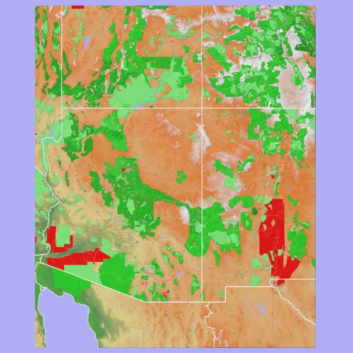
    The app provides 3D topographic maps for iPad and iPhone. Vector map data is contained within the app for offline use, supporting navigation in various environments.

    ★ 5.02 ratingsNavigationFreeData updated 2026-09-13
  7. Terrafin Mobile app icon

    Terrafin Mobile

    Terrafin Software

    Satellite data for anglers divers researchers

    The app provides subscribers with access to satellite data for fishing, diving, and research. Users can browse and download charts to their device for offline use, with features like waypoint marking and real-time vessel location display.

    ★ 5.01 ratingsWeatherFreeData updated 2026-10-07
  8. SpotOn Fishing - Fishing App app icon

    SpotOn Fishing - Fishing App

    SpotOn.Fishing LLC

    Explore waters and plan trips

    Navigate with high-resolution structure maps showing underwater features like drops and ledges. Access real-time data and track fish locations. Plan trips with detailed maps and explore new waters. Share locations and mark favorites for future trips.

    ★ 4.712 ratingsNavigationFreeData updated 2026-09-06
  9. Gemer app icon

    Gemer

    Outdooractive AG

    ★ 0.00 ratingsTravelFreeData updated 2026-09-06

How we rank alternatives

Apps are ranked by functional similarity, category fit, rating confidence, and popularity.