
Back Seat Driver
Kenneth Rubio
Find travel distance between cities.
The app finds travel distance between cities and plots GPS routes. It offers detailed points of interest and map viewing for trip planning.

Showing 401–420 of 1,000 ranked alternatives.
Kenneth Rubio
Find travel distance between cities.
The app finds travel distance between cities and plots GPS routes. It offers detailed points of interest and map viewing for trip planning.



Immaginet Srl
Explore routes and navigate trails
Navigate with topographic featuring elevation details and trail markers. View multiple map layers including satellite and terrain. Save and share custom routes. Get turn-by-turn directions and real-time location tracking.



Pit Schneider
View building numbers with AR camera
View building numbers using augmented reality with an iPhone camera. Display numbers clearly in various lighting conditions. Identify buildings without visible numbers or in dark environments.


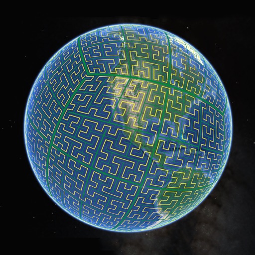
Simon Frost
View S2 cells and compare landmarks
Display S2 cell boundaries globally. View cell IDs and compare with real-world landmarks. Integrate with Ingress Intel Map to check portals and stops. Ensure new submissions align with cell boundaries.


Ladkunvar Ahirwar
Explore real-time satellite views
View real-time satellite imagery of any location. Explore 3D terrain and interactive street views. Track location and receive traffic updates. Navigate with detailed maps and location-based information.

Flytomap
Navigate with satellite maps and offline coverage
Navigation provides marine and outdoor maps worldwide without mobile coverage. Displays satellite and terrain overlays on . Includes local marine weather forecasts. Supports raster and vector chart integration.




Apps are ranked by functional similarity, category fit, rating confidence, and popularity.