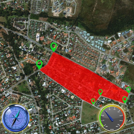
The app integrates mapping technology and augmented reality for outdoor experiences. It offers an offline peak database, AR peak visualization, and multiple map providers and types.
by Oratu, s.r.o.★ 0.00 ratingsNavigation$0.99Data updated 2026-09-17
Provides precise readings with deviation error measurement and correction. Displays map navigation and augmented reality features. Tracks map markers and functions in all device orientations.
View photographs with map locations and GPS data. Explore camera settings and AR features. Access an online gallery with new photo notifications. Purchase prints in-. Share images directly.