

Apps Like 66Maps for iPhone and iPad
Explore peaks with augmented reality.
The app integrates mapping technology and augmented reality for outdoor experiences. It offers an offline peak database, AR peak visualization, and multiple map providers and types.
66Maps screenshots
Ranked alternatives
Showing 261–280 of 1,000 ranked alternatives.


Shenzhen Travel Guide Offline
eTips LTD
Augmented reality offline city travel guide.
The app provides an offline travel guide with augmented reality features. It includes interactive maps, daily itineraries, and information on shopping and nightlife.



HouseNumber
Pit Schneider
View building numbers with AR camera
View building numbers using augmented reality with an iPhone camera. Display numbers clearly in various lighting conditions. Identify buildings without visible numbers or in dark environments.
S2Cells Map
Simon Frost
View S2 cells and compare landmarks
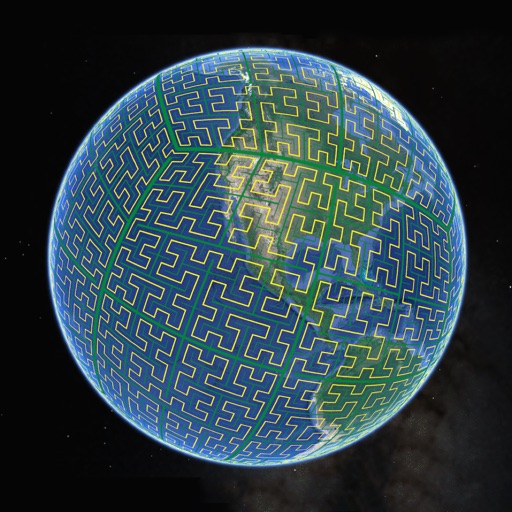
Display S2 cell boundaries globally. View cell IDs and compare with real-world landmarks. Integrate with Ingress Intel Map to check portals and stops. Ensure new submissions align with cell boundaries.


Great Lakes HD Nautical Charts
Flytomap
Navigate with marine and outdoor maps
Navigate with offline marine, lake, and outdoor maps. Access worldwide satellite and terrain overlays. View local weather forecasts. Use NOAA, USGS, and DRG data for detailed charting.


Moscow Travel Guide and Offline Metro Map
eTips LTD
Offline city guide with augmented reality.
The app provides an offline travel guide with interactive maps, daily itineraries, and local audio. Augmented reality features help users discover the city and its attractions.

Rome Travel Guide and Offline City Map
eTips LTD
Offline city guide with augmented reality.
The app provides an offline travel guide with augmented reality features. It includes interactive maps, daily itineraries, and information on points of interest, shopping, and nightlife.

China Travel Guide Offline
eTips LTD
Offline travel guide with augmented reality.
The app offers an offline travel guide with augmented reality features. It includes interactive maps, daily itineraries, and information on points of interest, shopping, and nightlife.

Minnesota Lakes Fishing Charts
Flytomap
Worldwide marine lake outdoor maps
The app provides worldwide marine, lake, and outdoor maps, satellite imagery, and terrain features. It offers local weather forecasts, tide data, and community information for boaters and fishermen.




Maine Lakes - GPS fishing maps
Flytomap
Navigate with marine and outdoor
Navigate with marine and outdoor offline. Overlay satellite and terrain data on charts. Access local weather forecasts. View worldwide and satellite imagery when connected. Use NOAA raster data for detailed navigation.
How we rank alternatives
Apps are ranked by functional similarity, category fit, rating confidence, and popularity.