The app integrates mapping technology and augmented reality for outdoor experiences. It offers an offline peak database, AR peak visualization, and multiple map providers and types.
by Oratu, s.r.o.★ 0.00 ratingsNavigation$0.99Data updated 2026-09-17
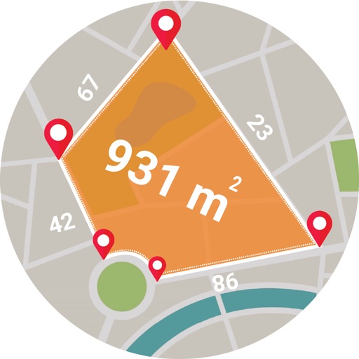
Calculate areas, plots, and distances using GPS technology. Draw and map regions on a map. Measure perimeter and of custom shapes. Save and share measurement data. Export maps in various formats.
The app uses augmented reality and maps to help users find their friends. Users can see where friends are located in front of them and be guided to their position.
Track location and navigate back to a marked waypoint using directional guidance. Measure distance to the waypoint in meters. Save multiple waypoints for future reference. Share coordinates with others for group navigation.
Select a destination and download guided . View all tour details at a glance. See detailed route overviews with distance indicators and landmarks. Access on- and offline maps with highlighted routes. Use GPS to follow easily.
View complete trip itineraries with flight, transportation, and accommodation details. Set flight alerts and receive predictive analytics. Monitor risks and access destination highlights. Sync with enterprise accounts for real-time updates.
The app provides worldwide marine and outdoor maps, satellite imagery, and terrain overlays. It includes local marine weather forecasts and community information for boaters.
The app provides navigation tools for communications, operations, and outdoor planning. It includes a compass, multiple coordinate systems, weather conditions, and route calculation features.