Measure distances, angles, and colors on any screen. Capture and analyze screen elements for design, development, or navigation tasks. Save and share measurement data directly.
Create and edit 2D and 3D geographic shapes for mapping. Draw sites, roads, and air routes with georeferencing. Visualize shapes on 2D and 3D global maps. Explore areas by car, plane, or foot. Share and export map data.
Analyze and visualize electrical, acoustical, and electroacoustic signals with multi-channel data acquisition. Import and export signal data. Configure measurement parameters and trigger events. Display real-time waveforms and spectra.
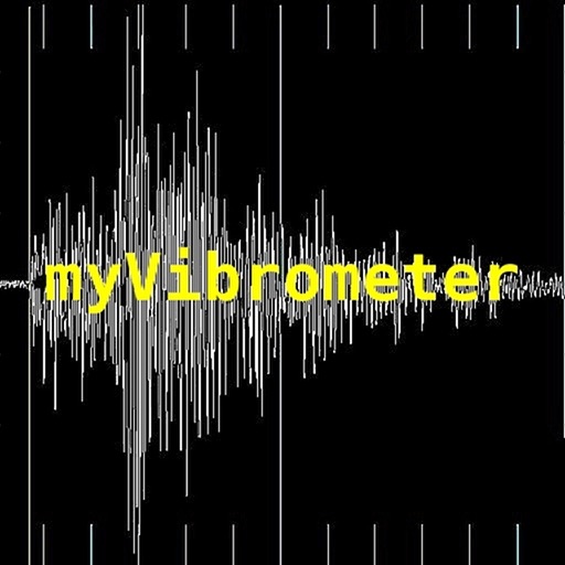
Measure vibrations in real time with X, Y, Z axis data. Record instantaneous values, min/max vibration, and energy per unit mass. Track device orientation using compass and navigation data via GPS. Save timestamps for each data point.