Measure distances, angles, and colors on any screen. Capture and analyze screen elements for design, development, or navigation tasks. Save and share measurement data directly.
Measure distances between objects and calculate areas using GPS. Select units in Imperial or Metric systems. Determine property lines and export measurements in square feet, acres, or kilometers.
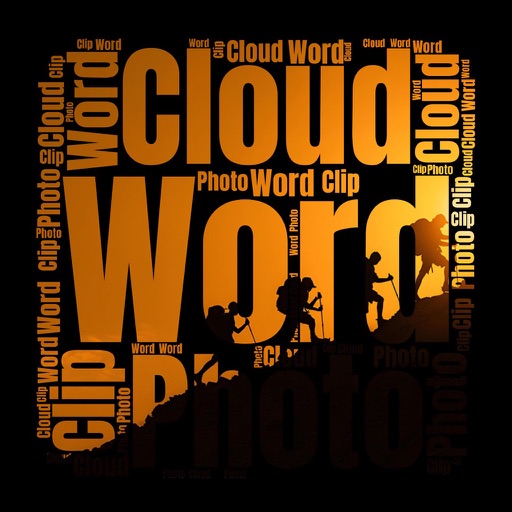
Create clouds with customizable fonts, angles, and layouts. Use photos as clipping masks. Edit and combine text with shapes for visual presentations. Save and share the final design.
Land, fields, and property using GPS or manual input. Place markers on the map or walk boundaries to calculate , distance, and perimeter. Choose units like square meters or square feet. Save and share measurements.