Provide accurate GPS coordinates and altitude readings. Display direction and map integration. Enable location-based reminders and track movement routes. Adjust settings for different navigation modes.
by DOUBLE U s.r.o.★ 4.68,289 ratingsNavigationFreeData updated 2026-09-08
The app provides navigation for outdoor activities, allowing users to view their location in UTM or Lat/Lon. It supports recording and returning to waypoints, track logs, and exporting data to KML, GPX, or CSV files.
Displays wind rose and location details including name, latitude, longitude, and altitude in meters or feet. Saves position data for any global location. Requires location services to detect geographical position.
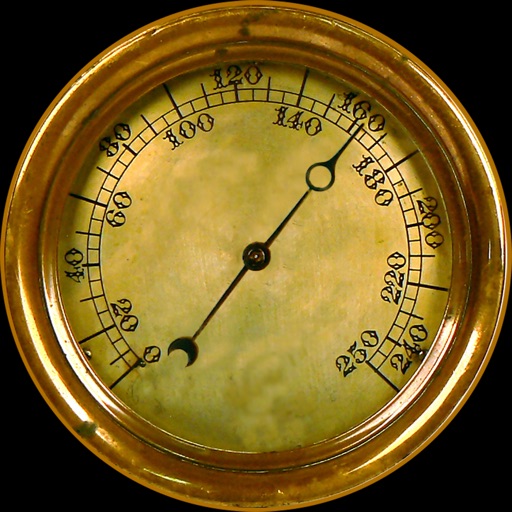
Navigation provides altitude, barometric pressure, and compass readings. Measures humidity, rainfall, and temperature. Includes magnifying glass, metronome, ruler, and spirit level. Displays speed, vertical speed, and VU meter.
Plan and navigate off-road trails with detailed maps and turn-by-turn directions. Mark favorite routes and track progress. Share data and receive real-time updates on conditions. Sync with GPS devices for accurate navigation.
Draw and measure surfaces with automatic creation. Calculate perimeter of closed and open areas. Switch between meters and feet. Adjust line width, zoom, and set custom plans. Export as image, PDF, or share via social media and messaging.
The app provides aviation navigation for Southern Africa with a GPS moving map and detailed airfields database. It includes airspace information, flight planning, and an E6B calculator for enhanced situational awareness.
Calculate prayer times based on sun and moon positions. Display sunrise, zenith, sunset, and twilight times. Visualize prayer times with a digital sundial. Sync with location for accurate timings. Set reminders for each prayer.
The app calculates the shortest distance or distance with a constant bearing between two locations. Users can select current location, enter coordinates, or choose from a database.
Find oil and gas locations across specified U.S. states. Get turn-by-turn directions. View well data and weather forecasts. Drop pins to identify locations. Share well information and coordinates.
Calculate output voltage and power after attenuation
Calculate output voltage, power, and attenuation based on input voltage and dB loss. Specify impedance for accurate results. Convert between Watts, dBm, and dB values. Calculate NMR pulses using reference power and pulse length.
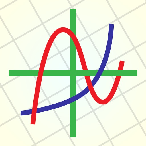
Create and analyze mathematical graphs with precise notation display. Edit graphs with color and line style customization. Find coordinates, intersections, and key points like zeros and extrema. Perform domain analysis and use an intuitive keyboard.