

Apps Like iAIS for iPhone and iPad
Track AIS targets and GPS data
View AIS targets plotted relative to device position. Tap targets to see speed, course, destination, type, and length. Display GPS and wind data on an instrument panel. Overlay AIS targets on Navionics charts with an in- purchase.
iAIS screenshots
Ranked alternatives
Showing 421–440 of 1,000 ranked alternatives.


My Position HD
Piet Jonas
See position, altitude, and speed.
The app shows user position, altitude, and speed. It calculates distance and direction to a defined target.

NRST
Toonsy Net
Airport information for any aircraft.
The app displays airport information including distance, field elevation, and required descent rate. It shows the user's current speed, course, altitude, and vertical speed, updating all data in real time.


Margaritaville Official App
Margaritaville Enterprises, LLC
Book stays, order food, track drinks
Book stays at residential communities, browse and purchase merchandise, access tropical music streaming, locate food options, and order signature drinks. Manage reservations, view perks, and receive updates through push notifications.

Skipper My Boat
Element Softworks Ltd
Book boats, compare listings, and reserve trips
Browse and compare boats by location, price, and activity type. Filter by number of people and category. Book accommodations and access 24/7 concierge support. View available yachts worldwide and book hotels on-site.



DashCam-PRO
3B Soft srls
Record car trips with video.
The app records car trips using GPS tracking and video capture. Videos include speedometer, map, and live audio, exportable to the photo library or viewable within the app.

Trout Stream GPS - Fly Fishing
Distal Industries, LLC
Navigate America's Trout Streams Easily
The app displays detailed maps of trout streams across the United States, showing access points and fishing locations. It uses the device's GPS to provide real-time navigation and generate driving directions to selected waypoints.


Smooth Trailering
SMOOTH TRAILERING LLC
Navigate with GPS route guidance
Plan trips by setting routes that avoid low clearance areas, weight-restricted roads, and sharp turns. Find boat ramps and marina locations. Set trailer maintenance reminders. Customize profiles for different trailers.

iBFDmonochrome
Tatsuo Saeki
Monitor flight data and backup instruments
Provides a backup flight display with attitude indicator and heading indicator. Displays critical flight data during instrument failure. Allows pilots to monitor aircraft orientation and direction. Integrates with GPS for accurate navigation.
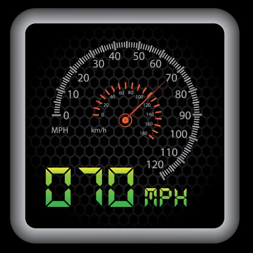
My HUD - Speedometer
Christopher Shireman
Display speed and time easily.
The app provides a heads-up display for a car, offering GPS-based speed information with MPH and KPH options. It includes digital and standard font modes, 12 and 24-hour clock options, and portrait and landscape orientations.


Get My GPS Coordinates: Finder
NBApps
Find your location on the map
Display your current GPS location on a map instantly. Manually search for places, cities, or states. View and share exact coordinates via copy/paste or direct sharing.


How we rank alternatives
Apps are ranked by functional similarity, category fit, rating confidence, and popularity.