Apps Like Metro Times Washington DC for iPhone and iPad
Track train arrivals and find entrances
Track train arrivals and departures at stations in DC, Maryland, and Virginia. View real-time schedules and service alerts. Receive countdowns for upcoming trains. Locate nearby entrances and exits.
by William Kendall★ 4.8168 ratingsTravelFreeData updated 2026-09-08
Access real-time transit data and official DC maps. Search routes with departure and arrival points to find transfer options, including time, cost, and distance. View nearby attractions and navigation details.
The app provides real-time predictions for every Metro rail line and bus route in Washington DC. It offers trip planning, an interactive system map, and alerts for service disruptions.
View and bus , including real-time arrivals and future/past times. Find bus stops, routes, and stations by name. Track buses on a real-time map. See full lines and station entrances. Search for stations and stops.
The app displays train schedules and countdowns to the next trains. Users can sign up for commuter notifications to receive updates on outages, delays, and service changes.
Plan routes using public transportation with real-time vehicle tracking and live departure . Compare multi-modal options like bike + rail or bus + . Receive instant alerts about delays or changes.
Navigate DC using WMATA transit. Find routes between locations, check real-time arrival times, and plan trips with step-by-step directions. Tap SmarTrip cards for fare payment and view service alerts.
Displays next arrival times for selected stations, showing line color, car count, destination, and arrival time. Set favorite home and work stations. With location access, selects nearest station by default and lists 5 closest stations in settings.
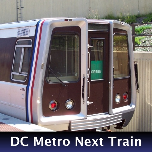
The app provides real-time train arrival information for Washington, DC Metro stations. Users can find their station and see when the next train will arrive, eliminating the need to wait on the platform.
View real-time schedules for RTD buses, light rail, and commuter trains. Set alerts for stops and departures. Plan trips with step-by-step directions. Track vehicle locations and receive updates on delays or changes.
Load your account and scan QR code at the purple fare reader. View trip history and account balance. Plan routes with step-by-step navigation and real-time bus and light rail locations. Track savings with Smart Fare daily, weekly, and monthly fares.
The app identifies WMATA bus stops, WMATA metro stations, and Montgomery County Ride On bus stops. It provides next bus and train predictions, with location determined by services or map navigation.
Track real-time bus locations and predicted arrival times at stops. Find nearby stops by zooming. Pin frequently used stops on the map. Share trip details with others. View route maps and service alerts.
Navigate with live updates and real-time schedules
Plan trips with live bus, train, and subway tracking. Set stop and schedule alerts. Get smart trip recommendations. View live and offline route maps. Use one-tap “Get Me Home” for quick navigation.
Plan trips within the Stockholm region by searching for routes using public transport options like metro, trains, buses, and boats. View real-time or scheduled departures.
Book rides for curb-to-curb transportation within the Austin area. Select and drop-off locations. View real-time vehicle tracking. Pay with a bus ride price. Access service areas for shopping, work, and events.
View real-time train schedules and delay information from the MTA. Auto-switch stations based on location. Check live branch status and Twitter updates. Access fare listings and peak/off-peak indicators. See transfer options and subways maps.