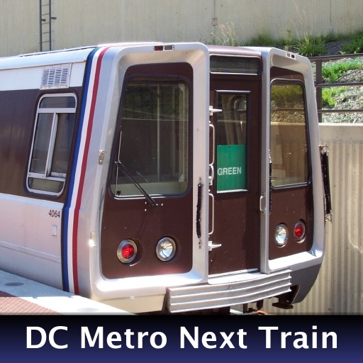
Displays next arrival times for selected stations, showing line color, car count, destination, and arrival time. Set favorite home and work stations. With location access, selects nearest station by default and lists 5 closest stations in settings.
by Christopher Rung★ 0.00 ratingsUtilitiesFreeData updated 2026-09-11
View live train predictions with real-time arrival times for all WMATA Metrorail stations. Access the interface showing line colors, car counts, destinations, and exact arrival times.
Track train arrivals and departures at stations in DC, Maryland, and Virginia. View real-time schedules and service alerts. Receive countdowns for upcoming trains. Locate nearby entrances and exits.
View and bus , including real-time arrivals and future/past times. Find bus stops, routes, and stations by name. Track buses on a real-time map. See full lines and station entrances. Search for stations and stops.
The app provides real-time predictions for every Metro rail line and bus route in Washington DC. It offers trip planning, an interactive system map, and alerts for service disruptions.
The app provides real-time bus and subway arrival times for Boston transit. It locates nearby stations and displays service alerts, helping users manage their commute.
Access real-time train and bus arrival predictions for all stations and stops. View next train and next bus times with automatic updates. Use location-based features to find nearby transit options.
The app provides real-time train arrival information for Washington, DC Metro stations. Users can find their station and see when the next train will arrive, eliminating the need to wait on the platform.
Plan trips using a map-based interface with real-time subway, bus, and rail schedules. Check service status and track vehicles on the map. Save frequently used routes, stops, and stations for quick access. View arrival times and trip details.
Navigate DC using WMATA transit. Find routes between locations, check real-time arrival times, and plan trips with step-by-step directions. Tap SmarTrip cards for fare payment and view service alerts.
Plan trips by searching for stops and stations. View real-time schedules and alerts. Manage Key Card balance and add funds. Access trip planning tools within the . Check station-specific details and service updates.
Track and bus arrivals with real- data from the MTA. View arrival times on home and lock screen widgets. Save favorite stations for quick access. Check service alerts for delays and changes. Compare transfer times between trains.
Monitor current outdoor temperature, humidity, pressure, and wind speed at your location. Access real-time data from multiple weather stations using AI for accurate local forecasts. Share weather updates with others.
Find nearby rental stations and view directions. Browse and select available cars. Reserve vehicles instantly. Manage reservations and account settings within the . View rental offers and pricing details.
The app provides metro service customers with useful information. It includes route details between stations, station information, and nearest metro station locations.
View an interactive map of , tram, and RER lines. Search for stations or find nearby stops. Plan with or without internet. Access train schedules and journey details. Navigate offline with real-time updates.
Unlock bikes at 220 stations using GPS. Locate nearby bikes and stations. Start a ride with one tap. View real-time maps and traffic. Track trip distance and time. Pay for rides via . Receive notifications about availability and service alerts.
Plan trips by inputting departure and destination stations. View routes for railways and airplanes. Check fares and travel times. Access timetables for all stations. Calculate precise travel durations. Display transfer options.