

Apps Like Sputnik! for iPhone and iPad
Track satellite passes and ISS sightings
Predict satellite and ISS sightings with second-level accuracy. Track Starlink satellite trains. Set reminders for upcoming events. Show compass direction and elevation for precise viewing. Countdown to sightings second by second.
Sputnik! screenshots
Ranked alternatives
Showing 461–480 of 1,000 ranked alternatives.




HOA Toolkit
Hestia Software Enterprises Inc.
Manage HOA tasks and compliance offline
Manage HOA tasks through a mobile integrated with Village Management Software. Conduct inspections offline, sync data when online, and access compliance tools. View resident information, schedule meetings, and track property details.

Airports.
Foyer Objet Inc.
Search airports by city or code
Access airport information including runway details, facility data, and operational hours. Search by city, name, or code. Save favorite airports and set a home base for quick access. Browse airports by continent, country, and region.



Grid-Nav
Matthew Kaili
Get location data in MGRS format
Get current coordinates in latitude/longitude and MGRS format along with altitude, course, and speed. Toggle features on or off to customize the interface. View accurate location data for navigation purposes.

huntAhead
HUNTAHEAD, LLP
Track animals with GPS and weather data
Track and analyze animal behavior with detailed profiles and GPS-linked stand locations. Record and store weather data including temperature, pressure, wind direction, and moon phase. View and organize deer sightings directly on the device.



Easytrax GPS Tracking
Easytrax World
Track vehicles with GPS and maps
Monitor vehicle locations in real-time using GPS . View maps with detailed routes and historical data. Generate reports on vehicle movement and fuel usage. Receive alerts for unauthorized movement or tampering.

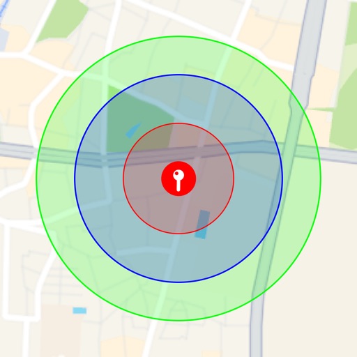
Radius On Map: Draw Circles
takeshi ogawa
Visualize around map pins
Visualize around map pins to compare distances. Set up to three per pin. Search locations and check nearby points of interest. Switch between standard and satellite map views. Automatically save pins for future reference.

Titan HST
Titan Health & Security Technologies, Inc.
Emergency alerts for organizations and businesses.
The app allows users to communicate emergency information, including GPS coordinates, text, audio, and photos. Administrators can initiate lockdowns and survey user emergency status.



How we rank alternatives
Apps are ranked by functional similarity, category fit, rating confidence, and popularity.