

Apps Like Avenza Maps: Offline Mapping for iPhone and iPad
Navigate with maps and GPS
Use GPS to navigate trails . Import custom maps and create personal maps. Access topographic, hiking, cycling, and city maps from publishers like National Geographic and National Park Service. Sync with devices for use.
Avenza Maps: Offline Mapping screenshots
Ranked alternatives
Showing 701–720 of 1,000 ranked alternatives.
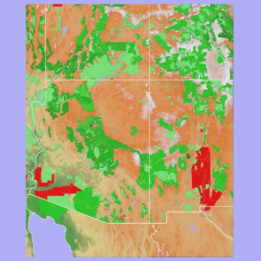
Scenic Map Grand Canyon
Mark Granger
Explore landscapes in three dimensions.
The app provides 3D topographic maps for iPad and iPhone. Vector map data is contained within the app for offline use, supporting navigation in various environments.

Rome Metro Guide and Route Planner
Discover Ukraine LLC
Navigate Rome using the subway.
The app provides subway maps and a route planner with travel time and distance. It calculates trip costs and finds nearby stations using augmented reality.


RFSBuddy
Volunteer Technology Services Australia Ltd
Record and share GPS coordinates easily.
The app records and shares GPS coordinates and field notes. It tracks user movement and provides GPS location services in multiple formats, including MGRS.

UT.no
Den Norske Turistforening
Explore trails, cabins, and destinations.
The app provides detailed hiking maps with marked trails and ski tracks. Users can find trip suggestions, cabins, and destinations, and save them to personal lists for planning outdoor adventures.


Vienna U-Bahn Guide and Route Planner
Discover Ukraine LLC
Navigate Vienna's rapid transit railway.
The app provides U-Bahn maps and a route planner with travel time and distance. It calculates trip costs and finds nearby stations using augmented reality.

FireMapper
Fire Front Solutions Pty Ltd
Generate incident maps quickly offline.
The app allows for the creation and export of incident maps. It supports multiple export formats including GPX, KML, CSV, and JPG.

Brussels Rail Map Lite
Ansgar Vollmer Und Till Knorr
Plan routes, view maps, and track transfers
& Subway Map displays detailed route maps with offline access. Find fastest routes and transfer stations. Quickly navigate to any station using the stations index. View line-specific station orders and transit options.




Mapeak
Mazor Harel
Navigate with topographic maps
Navigate using vector maps with unlimited zoom. Plan and share routes. Import and view points of interest. Synchronize with a trip-planning site. Track location without cellular reception.


How we rank alternatives
Apps are ranked by functional similarity, category fit, rating confidence, and popularity.