
Apps Like Avenza Maps: Offline Mapping for iPhone and iPad
Navigate with maps and GPS
Use GPS to navigate trails . Import custom maps and create personal maps. Access topographic, hiking, cycling, and city maps from publishers like National Geographic and National Park Service. Sync with devices for use.
Avenza Maps: Offline Mapping screenshots
Ranked alternatives
Showing 341–360 of 1,000 ranked alternatives.

GPS Maps & Driving Directions
Mudassar Ahmed
Navigate with real-time routes and 3D
Find routes with real-time traffic updates and voice-guided . View 3D aerial and use a digital compass for orientation. Plan trips with AI-generated itineraries and track progress toward destinations.




Live GPS Land Area Calculator
Muhammad Asad Khan
Measure areas and distances with GPS
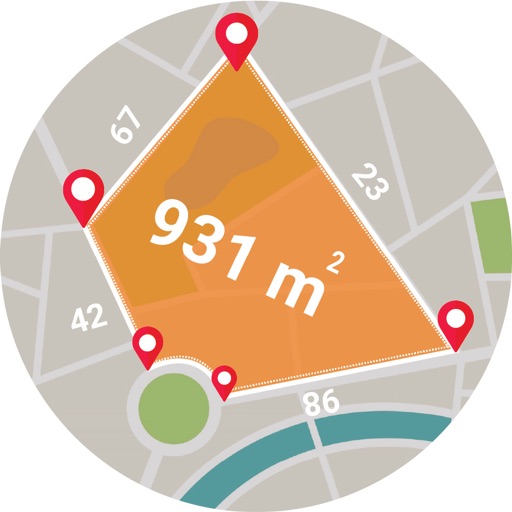
Calculate areas, plots, and distances using GPS technology. Draw and map regions on a map. Measure perimeter and of custom shapes. Save and share measurement data. Export maps in various formats.



OutDoors GB - Offline OS Maps
RoadTour LLC
Explore and navigate trails
Access detailed topographic and 15 GB of National Parks data. Navigate off-road trails, view elevation contours, and mark waypoints. Share and track progress with GPS. Sync with devices for real-time navigation.

geoportail.lu
Administration du Cadastre et de la Topographie
Luxemburg's official topographic mapping app.
The app provides access to topographic maps, aerial photos, and cadastral parcels for Luxemburg. Users can search for places, choose from over 100 data layers, and share maps.


Handy GPS lite
Anthony Dunk
Track routes, record trails, and return safely
View current location in UTM or lat/lon formats. Record and save waypoints. Track movement with up to 40 tracklog points. Navigate using GPS for hiking, mountain biking, and kayaking. Switch between coordinate systems. Store up to 3 waypoints.


4WD Maps - Offline Topo Maps
Hema Maps Pty Ltd
Detailed maps guide off-road travel.
The app provides offline mapping and GPS tracking on detailed Hema maps. Users can see their location on maps featuring roads, 4WD tracks, and topographic information to guide travel.

How we rank alternatives
Apps are ranked by functional similarity, category fit, rating confidence, and popularity.