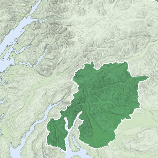
The app converts British National Grid References to Latitude, Longitude coordinates. It displays converted coordinates in the Maps app or sends them to GPS Log.
by Geospike Pty Ltd★ 5.01 ratingsNavigationFreeData updated 2026-09-15
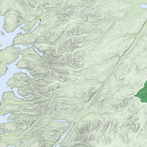
Use topographic of for accurate navigation. Save and view tracks with detailed information. Export tracks as GPX files and import place marks. Measure distances on . Access offline without internet connection.
Measure distances and areas on maps by tapping points. Switch between metric and imperial units. View precise measurements for property, routes, or land.
AL TAWASOL GULF CORPORATION FOR ELECTRONIC MARKETING
Find nearby places and plan routes
Find nearby locations across various categories and get navigation routes via different transportation methods. Save favorite places such as home and work for easy access.
Track vehicles in real time using GPS. View location updates, monitor movement, and receive alerts. Manage fleets, track school buses, and oversee assets. Set up employee schedules and access vehicle data remotely.
The app calculates distances, areas, and circumferences using algorithms that account for the Earth's curvature. It also converts position coordinates between different coordinate systems and supports various geodetic datums and projection methods.
Track trips with distance, time, and average speed calculations. Forecast arrival times using waypoints. Monitor GPS and OBD sensor data in real time. View detailed vehicle performance metrics. Sync with external GPS devices for enhanced navigation.