Activates the iPhone's instantly. Turns on automatically when launched. Provides bright illumination for dark environments. Allows manual control of brightness and timer settings. Supports night vision mode for low-light situations.
by Alexandre Morcos★ 4.75,877 ratingsUtilitiesFreeData updated 2026-09-08
The app allows users to precisely digitize points, lines, and areas over a map and save them as features. Users can view position, length, or area values for saved features and measure distances and areas without saving shapes.
Track vehicle locations and monitor fuel and maintenance costs in real-time. Receive alerts for vehicle health issues and schedule preventative maintenance. Provide drivers with actionable insights to improve efficiency and reduce downtime.
Monitor vehicle performance and fuel efficiency in real-time. Track maintenance needs and receive alerts for potential issues. Provide drivers with feedback to improve driving habits and reduce costs.
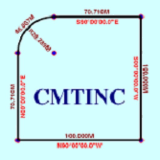
The app converts real property descriptions into boundary maps. Users enter angles and distances to draw property boundaries, displaying closure error, total area, and perimeter.
Book appointments instantly with real-time availability and calendar integration. View details, confirm bookings, and receive notifications. Manage reservations directly from the without phone calls or waiting.
Adjust brightness and color temperature for ambient lighting. Choose from 15+ solid colors or 15+ gradients. Apply 10+ effects like pulsing or candle animation. Play 15+ high-quality and sleep sounds. Set timers for automatic shutdown.
Turns device into a wireless camera input for streaming. Connects to same WiFi network as PC . Enables live streaming to server. Displays IP address for manual input in application.
Shandong Daguxian Digital Science & Technology Development Co.,LTD
Capture images and videos wirelessly
Allows users to view live images and videos from connected devices. Control devices remotely and share files instantly to social media. Suitable for night vision, search and rescue, and personal safety applications.
The app displays NOTAMs on a map with categorized colors and symbols indicating their subject. It also provides airport meteorological information and details for various aeronautical points across numerous countries.