The app tracks user journeys without requiring accounts or logins. It allows users to record their locations, add tracks to a map, and export them to GPX or KML files.
by Longstride Tech, LLC★ 0.00 ratingsNavigationFreeData updated 2026-09-15
Create and manage travel tracks with waypoints. Import and export maps in .gpx format. Use with unlimited storage. Access background barometer and pedometer data. Display color gradients for speed and height.
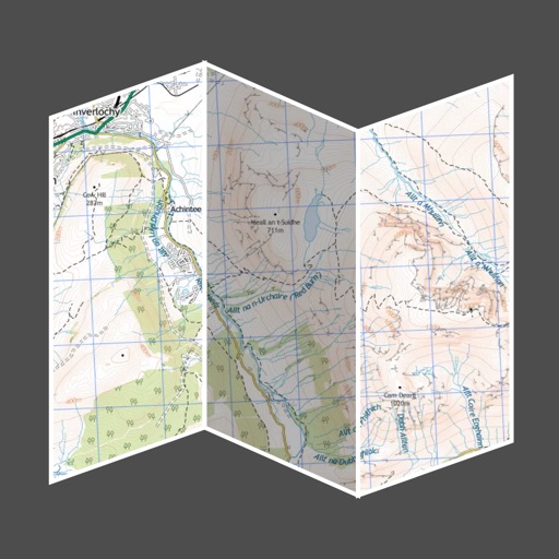
View maps in multiple styles and overlay grids for precise navigation. Access live location data including coordinates, address, heading, and speed. Plan routes with detailed terrain analysis and save custom waypoints.
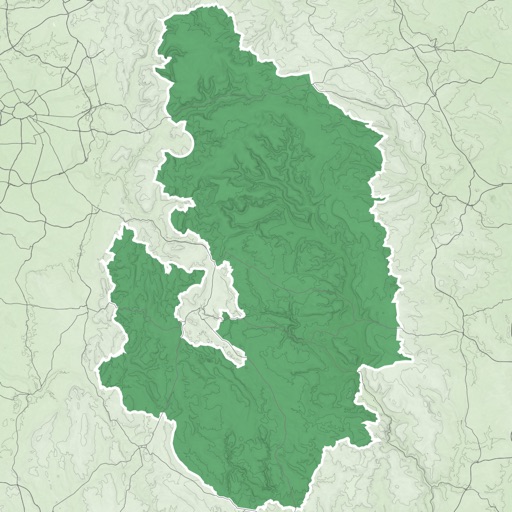
Explore scenic routes, historical sites, and cultural attractions in -Palatinate. Navigate trails, view castle details, and access local traditions. Find accommodations, plan itineraries, and receive real-time weather updates.
The app allows users to find parks and trails in Tallahassee, highlighting hidden gems not available elsewhere. Users can browse amenities, search for trails, and see their real-time position while exploring.
Use device as high-performance GPS receiver with USA Raster Nautical . Access without cell signal. Navigate safely in emergencies. Sync with chart plotter if available. Download for offline use. Track location and display real-time data.