SOLight - Sun & Light
Bernd Ruprechter
Track sun position and sky path
Determine sun position and movement by pointing device at sky. Display sun's path and current location. Help assess natural availability for photography or property viewing.

See position, altitude, and speed.
The app shows user position, altitude, and speed. It calculates distance and direction to a defined target.
Showing 321–340 of 1,000 ranked alternatives.
Bernd Ruprechter
Track sun position and sky path
Determine sun position and movement by pointing device at sky. Display sun's path and current location. Help assess natural availability for photography or property viewing.
AppsFab AS
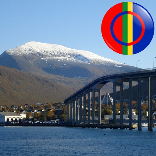
See Samiland's points of interest.
The app displays Sami points of interest in Norway, including mountains, lakes, and buildings. Users can identify locations by pointing their device and viewing them on the screen, even without an internet connection.

Thomas Niederberger
Geocaching and hiking tool with conversions.
The app offers coordinate conversions for Swissgrid and WGS84 formats. It displays typed or current coordinates on a map and includes tools like ASCII, rotation, and prime number checking.


ShenZhen City XueQin Information Technology Inc.
Track direction and save navigation flow
Track displays current position, longitude, latitude, altitude, air pressure, magnetic field strength, and speed. Includes real-time positioning and map functionality. Offers 360° rotating styles for direction identification.


Ivan Blajic
Plan routes, view maps, and overlay grids
View maps in multiple styles and overlay grids for precise navigation. Access live location data including coordinates, address, heading, and speed. Plan routes with detailed terrain analysis and save custom waypoints.
WeatherOnline Ltd
Worldwide weather forecasts and maps.
The app provides worldwide city forecasts, including temperature, precipitation, and wind details for up to 12 days. It also offers current weather conditions, radar loops, and weather maps for various regions.


Lars Hansen
Calculate distance and heading along great circle.
The app calculates distance and heading along the great circle between two positions. It uses GPS for the start position or allows own input, and provides GPS speed and course.


Lonnie Ganz
Barometric pressure to altitude conversion.
The app converts barometric pressure to altitude above sea level. It displays current elevation, cabin altitude, and vertical speed, and saves maximum and minimum altitudes.


Shenzhen Jirry Jirry Technology Co., Ltd.
Track altitude and direction in real time
Track altitude with real-time measurements. Use a sensitive compass for accurate direction. Capture latitude and longitude data via camera. Monitor atmospheric pressure and magnetic field readings. Check real-time location data and sync with maps.


Hrishikesh Deshkar
Draw circles and markers on Google Maps
Create and manage custom circles on Google Maps with precise mile measurements. Add markers and save locations for real estate, delivery, or business planning. Export map data and share visualizations for location-based analysis.
Apps are ranked by functional similarity, category fit, rating confidence, and popularity.