

Apps Like FlyBy E6B for iPhone and iPad
Calculate flight paths and fuel burn
Calculate flight performance with wind and density altitude inputs. Perform fuel burn calculations and determine true airspeed. Convert units and view flight path diagrams. Save and share flight plans.
FlyBy E6B screenshots
Ranked alternatives
Showing 521–540 of 1,000 ranked alternatives.

Stratus Insight EFB
Aerovie, LLC
Monitor weather and track flight data
Provides pilots with synthetic vision, TAWS, and VFR/IFR charts. It includes geo-referenced approach plates and ADS-B traffic monitoring. Users can transcribe and playback radio communications with speech recognition.



Snowtam
Brendan Wholihan
Cold weather tools for pilots.
The app decodes SNOWTAM and MOTNE reports, providing quick access to runway conditions and notification fields. It also calculates cold temperature altitude adjustments using a formula based on Transport Canada's chart.

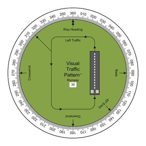
Visual Traffic Pattern
Arthur Varrassi
View runway patterns with finger rotation
Allows pilots to view runway patterns with finger rotation. Display includes left and right patterns, crosswind, downwind, base, and 45-degree entry headings. Magnetic runway orientation matches aircraft heading for approach visualization.


Grid-Nav
Matthew Kaili
Get location data in MGRS format
Get current coordinates in latitude/longitude and MGRS format along with altitude, course, and speed. Toggle features on or off to customize the interface. View accurate location data for navigation purposes.

Range-Finder
Savvas Petrou
Measure distances to a target.
The app measures distances to a target using the device's camera. It calculates estimated distance and altitude after the user aims at a target, moves a set distance, and aims again.


Flight Tracker: Airplane Radar
DWTSAR LLC
Track flights and view live
Track flights with real-time and details. Search by route, airport, or number. View scheduled and current times, status, and airport information. Monitor multiple flights simultaneously. Receive alerts for delays or cancellations.



SendLocation
Jouni Erola
User location sent to own server.
The app sends the user's location to a specified server and script. It supports background updating and detects significant location changes when closed or in the background.

Makai
Chris Perkins
Track flight times and compare against plan
Track flight plan times by entering waypoint enroute times before departure. Compare running totals to verify accuracy. After departure, input actual time off the ground to calculate and display waypoint estimates for log entry.

ShipXplorer · Ship Tracker
AirNav Systems LLC
Track vessel positions in real-time
Track vessel positions in real-time using AIS data. View latitude, longitude, speed, course, and draught. Identify vessels by unique ID. Access global coverage with accurate maritime tracking.
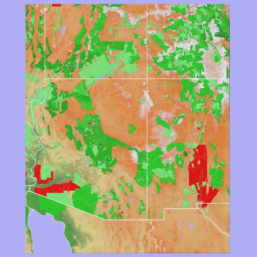
Scenic Map Grand Canyon
Mark Granger
Explore landscapes in three dimensions.
The app provides 3D topographic maps for iPad and iPhone. Vector map data is contained within the app for offline use, supporting navigation in various environments.

aSmart HUD 3D +SpeedCams
Vitalijs Lennojs
Car dashboard with map and cameras.
The app displays current speed, trip data, and weather forecasts. It also shows speed camera locations and provides a 3D trip log graph.
How we rank alternatives
Apps are ranked by functional similarity, category fit, rating confidence, and popularity.