Calculate flight performance with wind and density altitude inputs. Perform fuel burn calculations and determine true airspeed. Convert units and view flight path diagrams. Save and share flight plans.
by Lonnie Ganz★ 4.717 ratingsNavigation$9.99Data updated 2026-10-04
GPS displays speed, altitude, and track data with real-time profiles. Logs activity in sleep or background mode. Stores recorded tracks for analysis and map display. Shares tracks across devices via iCloud.
Monitor solar activity and Earth's magnetic field.
The app monitors Earth's magnetic field using satellite and ground station data. It displays solar wind speed, solar flares, and radiation flux, allowing anticipation of magnetic field changes and auroras.
Provides readings using either device GPS or the ASTER digital elevation model. Displays accurate elevation data with a horizontal accuracy of 30 meters. Functions on devices without a GPS sensor.
Track flights, view aircraft, and monitor destinations
Track flights in real time using data. View aircraft models, destinations, and flight speeds. Monitor friends and acquaintances flying with . Access pilot perspectives and aviation insights.
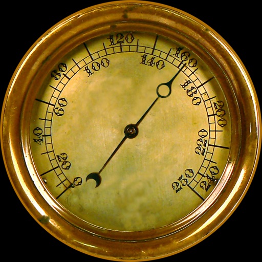
Navigation provides altitude, barometric pressure, and compass readings. Measures humidity, rainfall, and temperature. Includes magnifying glass, metronome, ruler, and spirit level. Displays speed, vertical speed, and VU meter.
Track and record routes for hiking, biking, excursions, and sports activities. View locations on maps, analyze with diagrams and stats. Manually or automatically log trips. Retrieve detailed activity data for later review.
Track location in real-time with GPS. Record routes and share positions with others. Take photos and send messages during activities. View duration, distance, speed, and altitude data. Allow loved ones to monitor your location for safety.
Track Airlines flights in real time. View destinations, aircraft models, and flight speeds. Receive notifications about departures and arrivals. Share flight details with friends and family. Set alerts for specific routes or aircraft.
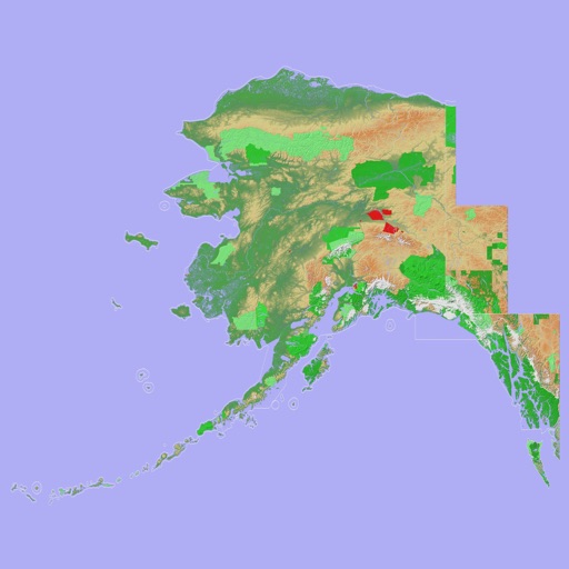
Navigate with a 3D topographic map of the USA. View detailed terrain and vector data offline. Use in vehicles or during outdoor activities. Access global maps online with automatic caching for offline use.
View 3D topographic maps of offline with vector data. Navigate by car, boat, plane, or on foot. Access worldwide satellite maps online with automatic caching. Toggle between map types and zoom to any location.
Monitor current and historical air data with support for multiple units including bar, inHg, mmHg, Torr, kPa, and hPa. Track altitude changes using device sensors. View forecasts and analyze historical trends for past, present, and future data.
View current location details including latitude, longitude, altitude, and address in Decimal or DMS format. Track trip data such as distance, speed, and maximum speed. Save location and trip information for later review.