Explore 3D flag models and view corresponding capital cities on interactive maps. Check distances between locations. Access Wikipedia information with a tap.
by xcentric systems★ 4.018 ratingsEducationFreeData updated 2026-09-08
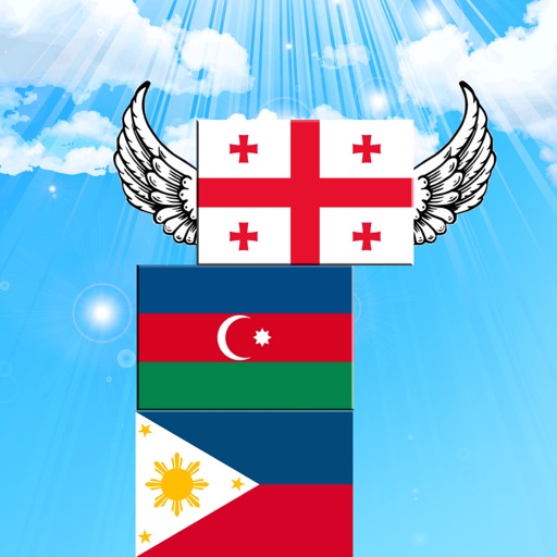
Answer questions about national to build a flag-. Select correct to add to the . Incorrect answers cause to fall faster. Track height and progress. Compete against time to prevent from falling.
Learn country names, flags, and capitals through interactive map exploration. Tap to view details like capital, flag, area, and population. Choose modes to identify by name or location.
Learn through interactive map games and multiple choice quizzes. Identify countries, U.S. states, flags, and capitals by tapping map regions or answering questions. Challenge friends or practice alone.
Access element data including atomic mass, density, melting and boiling points, atomic radius, and electronegativity. Tap elements to view Wikipedia pages for detailed information.
Allows users to identify from countries and regions. Players select from increasing difficulty levels. Features include flag images, hints, and score tracking. Users can compete against others or play solo.
Quiz allows users to identify countries by their . Quiz tests knowledge of world and provides interesting facts. Both quizzes offer multiple difficulty levels and track user progress.
Place countries, territories, and landmarks on a 3D globe. View capital cities and major landmarks. Explore high-resolution maps with translucent oceans. Learn about geography through interactive placement and detailed locations.
Identify of countries in the Summer or Winter Olympic Games. Answer questions with multiple-choice options. Track progress through levels. Unlock surprises and new content as you play.
Access detailed biographies of U.S. with offline and online Wikipedia links. View birth and death dates, full names, vice , and presidential terms. Explore notable quotes, fun facts, and career history before and after presidency.
View a 3D and rotate it using touch gestures. Zoom in and out with a pinch. Search for a country to navigate to it. Tap a country to display Wikipedia information.
Learn about waste management and environmental responsibility through interactive gameplay. Drive trucks and street sweepers to clean cities. Complete missions to sort recyclables and reduce waste. Earn rewards for eco-friendly actions.
The app displays a 3D globe with 249 countries and 50 USA states. It offers gesture control for browsing, linking to Wikipedia, and displaying realistic flags.