
NanoTire
恒俭 董
Calculate size and step info
Calculate sizes and compare rim compatibility. Input measurements to determine proper fit. Display results in a today widget for quick reference. Track step-by-step calculations for accuracy.

Measure map features quickly and easily.
The app measures length, perimeter, and area on a map using an interactive crosshair. Users can trace map features, and dimensions update continuously.
Showing 281–300 of 1,000 ranked alternatives.
恒俭 董
Calculate size and step info
Calculate sizes and compare rim compatibility. Input measurements to determine proper fit. Display results in a today widget for quick reference. Track step-by-step calculations for accuracy.

Francesco Grassi
Tool for mathematics and physics students.
The app supports scalar product, cross product, and mixed product calculations in two and three dimensions. It also calculates the angle and module of vectors.
takeshi ogawa
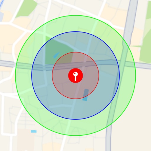
Visualize around map pins
Visualize around map pins to compare distances. Set up to three per pin. Search locations and check nearby points of interest. Switch between standard and satellite map views. Automatically save pins for future reference.

Nala Multimedia
Motorhome travel made easier for everyone.
The app provides motorhome travelers with 100,000 addresses for aires, campsites, and nature spots. It offers a motorhome GPS tailored to vehicle dimensions, route planning, and community-shared routes.


antoni michel
Measure land area, perimeter, distance.
The app measures land area, perimeter, and distance using GPS, manual input, or a mixed approach. It displays measurements in various units and allows saving, editing, and exporting plans in KML or DXF formats.

Transitional Continuum
Track speed, direction, and performance
Track speed, average speed, maximum speed, and directional speed. Measure velocity made good and wind speed. Calculate the Pilot Performance Index to assess flight performance. Compare results with others or against autopilot settings.

dhameer ekrayyem
Track units, view maps, generate reports
Track units in real-time with graphical map views. Generate reports and analyze driving statistics. Receive notifications about events. Build tracks and send commands. View movement data and manage tracked devices.


Siu Yuen Ho
Record and save as files
Record location data including latitude, longitude, altitude, speed, and distance. Save logs in CSV, KML, GPX, TCX, FITLOG, and NMEA formats. Use Apple or Google maps. Enable background logging. Share files via AirDrop. Upload to iCloud Drive.

Right Place Resources Limited
Offline maps for South Island exploration.
The app provides offline topographic map coverage of New Zealand's South Island. It includes satellite images, elevation data, and integrated data for various outdoor activities.

Siu Yuen Ho
Record tracks into files easily.
The app records user tracks into files, logging latitude, longitude, altitude, speed, and distance. It supports multiple file formats and map services, with background logging and file sharing capabilities.


Robert Thompson
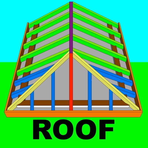
Calculate roof angles and pitches
Calculate rafter, hip, and jack rafter lengths with precise angle cuts and birdsmouth dimensions. Input roof dimensions for instant results. Guide users in cutting roof components accurately without trial and error.


Corvallis Microtechnology, Inc.
Measure distances and areas precisely.
The app allows users to precisely digitize points, lines, and areas over a map and save them as features. Users can view position, length, or area values for saved features and measure distances and areas without saving shapes.

Jacob White
Earthquake map and notification tool.
The app displays an earthquake map and provides earthquake notifications. Users can sort earthquakes by magnitude, distance, or time.

Badge Apps LLC
Receive location data, map points, set radius
Receive location data via email and map it automatically. Visualize GPS coordinates with a radius overlay. Get notifications for location updates. Share mapped locations with others. Set custom radius sizes and track movement patterns.

Orange Clover LLC
Navigation for outdoor enthusiasts and military.
The app provides navigation tools for communications, operations, and outdoor planning. It includes a compass, multiple coordinate systems, weather conditions, and route calculation features.
Apps are ranked by functional similarity, category fit, rating confidence, and popularity.