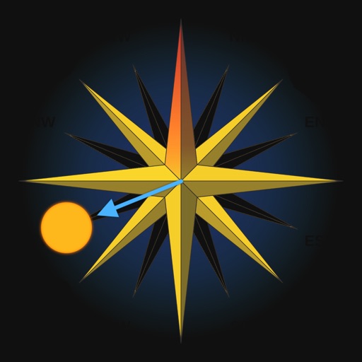
The app adds a compass to the iPad, utilizing the built-in magnetic compass or a sun compass. It is suitable for outdoor activities like hiking and biking.
by Piet Jonas★ 5.01 ratingsNavigation$0.99Data updated 2026-09-13
Track outdoor activities like hiking, biking, walking, and running with GPS. Save and navigate to waypoints. Store favorite destinations. View activity logs and maps. Share routes and track progress.
Track changes using a barometer and set reference pressure and altitude. View real-time altitude and adjust landscapes based on time of day. Use compass for orientation during hiking and outdoor activities. Compare differences between two points.
Access trail and data for mountain biking. View and contribute trail information. Local associations can approve and manage trail data. Use and regional updates. Unlock worldwide with a subscription.
View lunar phases and eclipse details with start and end times, maximum magnitude, and visibility. Use calendar, compass, map, and AR camera views to track the path and timing. Plan outdoor activities based on optimal light conditions.
Displays current with a large degree reading and a pointing arrow. Shows cardinal directions and a rotating rose. Includes a flashlight for low-light visibility. Provides accurate north orientation for land and marine navigation.
Track , distance, and direction with a digital and analog . Set custom distance values. Switch between portrait and landscape modes. Display in MPH, KM/H, and KNOTS. View altitude, maximum , and average with the Pro Pack.
Determine location using GPS and MGRS coordinates. Display latitude, longitude, and altitude. Show 16 main directions. Operate offline. Suitable for camping and outdoor navigation.
Plan outdoor activities by accessing HD topographic maps and reports. Navigate with GPS tracking and toggle map layers to view hazards. Scout new trails for hiking, skiing, mountain biking, or climbing. Save and share route data offline.
CNT INTERAKTIF BILGI TEKNOLOJILERI YAZILIM SANAYI VE TICARET ANONIM SIRKETI
Find direction offline
Find direction without an internet connection. Displays accurate compass direction to Mecca worldwide. Shows Kaaba location with an arrow on the map. Adjust prayer direction before starting prayer. Syncs with device compass for real-time updates.
Measure geographical orientation with a precise . Display longitude, latitude, altitude, weather, and magnetic field data. Record location points and view saved travel history.
The app helps Muslims find the Qibla direction toward the Kaaba in Makkah using GPS, magnetometer, and location services. It works globally, even without an internet connection, and features a visually pleasing compass interface.
Navigate using an offline map and compass tailored for Burning Man. Find nearby events and locations with full text search and geocoding. Access favorites, view walking and biking estimates, and filter events. Sync with Apple Health.
Track GPS and GLONASS satellite data including position, accuracy, speed, altitude, and orientation. Save and navigate to locations using coordinates or real-time data. Use a compass with magnetic and true north, a leveling tool, and waypoints.
Navigate parks with high-quality interactive maps. View real-time wait times and show schedules. Use GPS and compass for location tracking. Find attractions and dining options. Access dining guides and plan meals. Track park hours and special events.
Access real-time weather and trail updates. Retrieve lift ticket details, biking routes, dining options, and lodging information. View mountain webcams instantly. Find health and safety guidelines for the .
The app helps users find and filter places and services, with or without an internet connection. It offers extensive filters and thousands of unique points for outdoor adventures.
GPS-based digital displays current speed during driving, flying, cycling, or boating. Shows head-up display mode on car dashboard. Displays maximum speed limit and road name. Includes linear compass for direction.
The app displays up to six chosen locations simultaneously. Users can view the direction and distance to each selected place on a compass and check their coordinates.
Identify and name mountains and peaks using a 360° panorama view. Access offline maps with detailed peak information. View over one million mountain names and locations worldwide. Navigate without an internet connection.