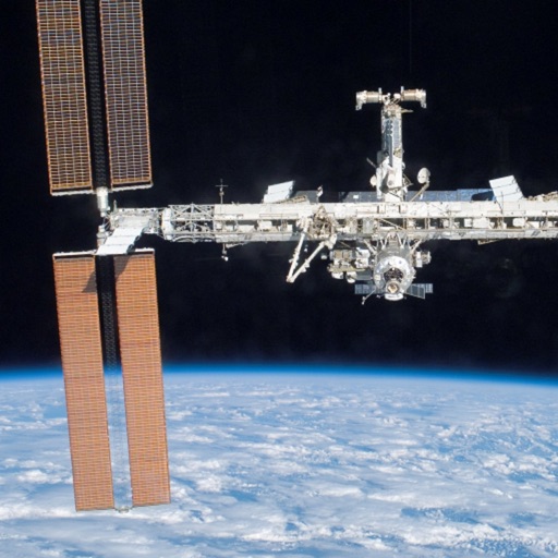
Track satellite passes using augmented reality. View the International Space Station, Starlink Trains, and other satellites in real time. Overlay positions on the night sky via iPhone or iPad camera.
by Toriningen Co.,Ltd.★ 4.8116 ratingsEducation$2.99Data updated 2026-09-08
Access celestial objects with a comprehensive database of comets, asteroids, and solar system bodies. Plan and log observations, control telescopes, and track accurate positions. View detailed sky maps and receive real-time updates.
View video streams of Earth from the International Space Station. Watch continuous 24/7 footage. Access real-time imagery and satellite data. Adjust camera angles and zoom. Receive notifications about space events and launches.
Track and log sightings of 150 visible satellites with time and location details. Record observations and note when each was seen. Browse future passes in preview mode. Explore 9000 visible stars and major constellations with educational notes.
Weather "View current conditions, forecasts, and radar maps. Set location-based alerts. Customize notifications for severe weather. Share forecasts with others."
Purchase transit passes instantly using debit/credit cards, Apple Pay, or Google Pay. Access step-by-step travel directions and plan trips within the . Use cash for purchases when needed.
Access agent-only listing details and search by schools or drive time. Share a branded with clients. Chat with clients and agents. Use TouchID for login. Calculate mortgage payments. Draw and spot tools for property viewing.
Create and simulate a custom with realistic physics. Adjust planet sizes, positions, and orbits. Explore 3D space environments and test gravitational interactions. Save and share custom solar systems.
Access details including lot lines, APN, address, owner, acreage, sale price, mailing address, value, land use, zoning, and vacancy status. View standardized data and public records. Search and retrieve information for properties nationwide.
Track with real-time predictions and interactive maps. View orbits, identify the International Space Station, Hubble Space Telescope, and other satellites. Set location and time for accurate pass information.
The app locates TV satellites using the device's sensors to determine physical location and calculate antenna alignment. Augmented Reality View displays satellite icons through the camera, aiding in line-of-sight assessment.