Track satellite passes using augmented reality. View the International Space Station, Starlink Trains, and other satellites in real time. Overlay positions on the night sky via iPhone or iPad camera.
by Toriningen Co.,Ltd.★ 4.8116 ratingsEducation$2.99Data updated 2026-09-08
Explore celestial objects like stars, planets, and galaxies through 3D interactive views. Learn about their names, positions, and characteristics. Discover constellations and their stories.
Explore the night sky by identifying celestial objects, tracking astronomical events, and locating specific space bodies. Adjust constellation visuals, set reminders for celestial events, and customize the experience.
Track and the International Space Station in real time. View pass predictions and detailed orbital data. Monitor Starlink visibility and receive alerts for satellite appearances. Share observations and access sky maps for location-based tracking.
Track flyovers of the International Space Station, Tiangong, and Hubble Space Telescope with 3D visualization and live positioning. Predict up to 30 days ahead with location-based pass times and a 0–4 star rating system for visibility.
PRO helps users locate satellites by pointing their device skyward. It displays available satellites based on location. Users can search for satellites by channel name, radio name, or provider.
Explore astronomy with daily high-quality space images and wallpapers. Access latest NASA news and discoveries. Search astronomy keywords in a comprehensive database. Learn about missions, spacecraft, and space observations.
The app provides offline maps for searching places and addresses. It offers navigation for cars, public transport, bikes, and walking with real-time traffic conditions and voice guidance.
Measure acceleration, orientation, and motion with built-in sensors. Record and analyze real-time data for experiments. Detect and generate sound tones. Visualize audio waveforms. Export measurements and graphs for scientific use.
View forecasts to determine optimal times. Access maps for discovering new spots. Track tides and weather conditions. Log catches and share findings with other anglers. Sync data across devices for continuous tracking.
Measure altitude with accurate display. Track location without data collection or sharing. Customize background colors. Avoid obstructions for better GPS accuracy. No ads included.
Explore satellites that monitor weather and climate change using augmented reality. Complete missions to learn about satellite instruments, data transmission processes, and their role in weather forecasting.
The app simulates the night sky from any location on Earth, past or future. It includes over 120,000 stars, celestial objects, and photos, with optional audio narration.
Navigate with -specific GPS directions tailored for commercial vehicles. Get turn-by-turn guidance considering dimensions and weight. Access offline and safety-focused routing features. Track vehicle position and receive real-time updates.
View and analyze satellite imagery for fishing conditions. Locate and track fish populations. Set waypoints and save maps. Share images and data with other users. Receive real-time updates on weather and currents.
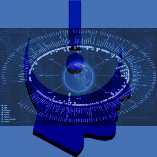
Provides information on geostationary satellites through structured tutorials. Explains satellite functions, orbital mechanics, and communication roles. Includes diagrams and technical specifications for educational understanding.
3D maps with high-resolution terrain details. Track real-time GPS locations. Explore satellite imagery and active satellite data. Navigate through cities and rural areas with detailed landscape visuals.
Explore celestial objects with interactive star maps and detailed information. Identify constellations and planets. View historical and cultural facts. Set location-based sky views and track celestial events.