

Apps Like SpaceStationAR for iPhone and iPad
Spot satellites in real-time with AR
Track satellite passes using augmented reality. View the International Space Station, Starlink Trains, and other satellites in real time. Overlay positions on the night sky via iPhone or iPad camera.
SpaceStationAR screenshots
Ranked alternatives
Showing 481–500 of 1,000 ranked alternatives.


Float Hartwell
True Course Ventures LLC
Navigate Lake and save favorites
Navigate Lake with detailed maps and points of interest. Find marinas, boat launches, restaurants, and other locations. Save favorites for quick access. Create custom places on the map. Share saved spots with friends.


Longwood Public Library
Longwood Public Library
Access resources and manage your account
Access resources from your device. Manage your card account, search the catalog, renew and reserve items. Stream and download books and movies. Learn about events, borrow museum passes, and conduct research.

Deest
文清 毕
Monitor and prevent lost family members.
The app provides personal location services for children and the elderly. It offers real-time tracking, history playback, and electronic fence features.

iGPS
Ynfo SAS di Graziano Gennaro & Co.
Access GPS and weather information.
The app provides access to device GPS functionality, displaying heading, compass, map views, speed, distance, coordinates, and altitude. It also offers weather information including temperature, humidity, pressure, cloud cover, and wind speed.




GPS Anti Spoof Pro
Frank Reed
Compare celestial altitudes and track live data
Compare observed celestial altitudes with live calculated values for precise navigation. Tap to pause and receive instant feedback. Access data for the Sun, Moon, Venus, Mars, Jupiter, Saturn, 57 navigational stars, and Polaris.

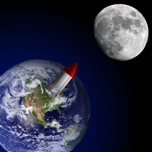
Mission: Moon
Ales Fleischmann
Simulate rocket flight to the moon.
The app simulates space travel with missions including reaching and landing on the moon. Players manage fuel for thrusters and observe celestial bodies during flight.




CorrectAltitude
koji otani
Altitude determination using GPS.
The app determines altitude using data from multiple GPS satellites. It allows users to capture dated photographs with altitude information, useful for navigation and emergencies.

Phone Tracker:IM Map Navigator
TAI SHAN LEE
Locate friends and family in real time.
The app allows users to track contacts' locations in real time on maps and send instant messages. Users can also get directions to a friend's location and search for nearby places.
How we rank alternatives
Apps are ranked by functional similarity, category fit, rating confidence, and popularity.