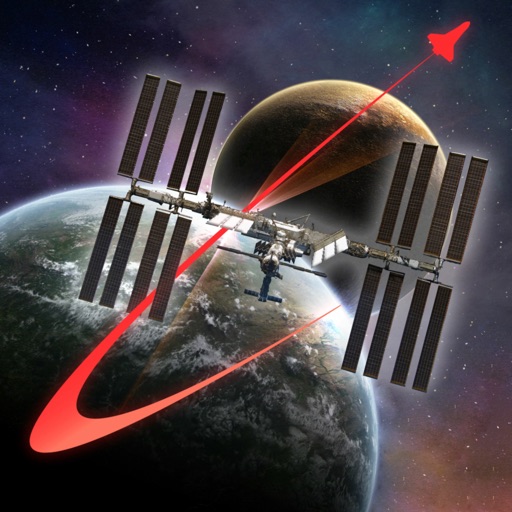
Track satellite passes using augmented reality. View the International Space Station, Starlink Trains, and other satellites in real time. Overlay positions on the night sky via iPhone or iPad camera.
by Toriningen Co.,Ltd.★ 4.8116 ratingsEducation$2.99Data updated 2026-09-08
Provide detailed sky maps for telescope and binocular users. Display 18 covering the equatorial region and polar areas. Show stars down to sixth magnitude, including double and variable stars. Include constellation boundaries and deep-sky objects.
Manage vehicle fleets by viewing real-time positions, colleague locations, and vehicle status. Access live speed, satellite data, battery levels, and connection status. Switch between maps and control vehicle functions with quick on/off settings.
Explore celestial objects with simulations and high-resolution images. View detailed facts about stars, galaxies, and nebulae. Navigate through 37 pages of content covering topics like galactic superclusters and stellar nurseries.
Weather provides real-time data including SOG, COG, VMC, HDG, TWS, AWS, ETAs, ETWs, and AIS. Integrates weather forecasts and calculations. Stores charts for offline use. Switches to night mode after sunset. Shares data with other devices via wifi.
Search for oil wells across 20 states and view produced oil, water, and gas data. Filter wells by location and type. Export details and track production metrics. Navigate to sites using map views.
Explore the International Space Station using augmented reality. Navigate modules, learn about their functions, and view future space exploration roles. Simulate a spacewalk with guided tours.
Measure areas using GPS or manual map points for accurate calculations. Switch between and distance modes. Save measurements for later access. Use compass navigation for directional guidance.
Track and manage fleets and mobile assets using GPS and satellite technology. View real-time locations, receive alerts, and send messages to assets. Log maintenance history and generate reports. Sync data across devices and set geofence boundaries.