Track satellite passes using augmented reality. View the International Space Station, Starlink Trains, and other satellites in real time. Overlay positions on the night sky via iPhone or iPad camera.
by Toriningen Co.,Ltd.★ 4.8116 ratingsEducation$2.99Data updated 2026-09-08
Tracks current, maximum, and average speed using GPS. Displays speed in analog and digital formats with colorful LED. Records distance traveled and trip time. Functions as a trip meter and for vehicles, walking, running, biking, and boating.
Access detailed climbing information with user-editable crag and area guides. View satellite imagery for offline navigation. Upload and share photos of climbs. Contribute to and update climbing documentation.
The app simulates the Milky Way with real physics, calculating celestial body positions from year 0 to 9999. Users can navigate the cosmos, visit planets and satellites, and view the sky from different locations.
Track trails with precise GPS mapping and save waypoints. Measure distances and elevation changes. Share routes and view real-time navigation updates. Sync with other devices for collaborative exploration.
Displays altitude, coordinates, and speed with options for metric or imperial units. Shows accuracy and warns about signal issues. Offers aircraft mode with in feet. Compares current altitude with known values. No ads or data collection.
Measure current and track elevation changes. Save named locations with icons for easy navigation. Syncs across iPhone, iPad, and Apple Watch. No ads and free to use.
The app provides North American weather imagery, allowing users to animate it at their own speed. Users can swipe backwards for satellite photos and forwards for a week of forecast images showing upper air features and precipitation.
BKK Budapesti Kozlekedesi Kozpont Zartkoruen Mukodo Reszvenytarsasag
Journey planning and ticket purchase.
The app offers real-time route planning with a simplified interface. Users can purchase digital tickets and passes, receive personalized transport updates, and plan trips on trains and suburban railways.
View from NASA's Jet Propulsion Laboratory, including planets, stars, and technology. Set up widgets for slideshow displays. Access weekly updates. Explore detailed imagery of celestial bodies and missions.
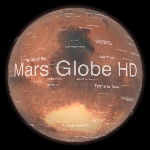
Explore with a high-resolution satellite map and topographic lighting. View over 1500 annotated surface features with detailed information and links. Navigate the virtual freely or follow a guided tour.