This app uses GPS to determine elevation above sea level. It provides elevation data for Japan and some international locations, sourced from the Geospatial Information Authority of Japan.
by Tsuyoshi Yonemoto★ 4.02 ratingsNavigationFreeData updated 2026-09-13
Navigate using GPS, AIS Online, and radar. View charts for coastal boating, sailing, and fishing. Track tides and currents. Set anchoring points. Sync with Apple Health. Share routes and waypoints.
Check traffic violations and fines with details on time, location, and issuing authority. Verify vehicle registration status. View search history and track multiple vehicles. Automatically receive notifications.
Track cycling performance with real-time speed, distance, and elevation data. Log rides, set goals, and view detailed maps. Sync with Apple Health and receive route guidance. Monitor heart rate and cadence. Export data for analysis.
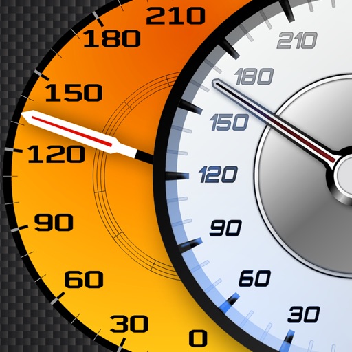
Track vehicle speed using GPS or simulation mode. View detailed speedometer displays with realistic graphics. Hear authentic engine during acceleration. Explore speed data from popular supercars.
Track trails with precise GPS mapping and save waypoints. Measure distances and elevation changes. Share routes and view real-time navigation updates. Sync with other devices for collaborative exploration.
Navigation provides GPS tracking, map navigation, and route planning. Includes tools, field manuals, and live conflict updates. Users can access guides, track locations, and receive real-time news.
Locations with real-time imagery and GPS tracking. Explore high-resolution of any global area. Zoom in to see detailed terrain and features. Save and share specific views. Navigate using location-based data and overlays.
Display current coordinates, address, county, and altitude for exact location. Scroll the map to navigate and track surroundings. Open the to instantly view position details.
Navigate with detailed worldwide maps and topographic contour maps. Access offline maps and voice guidance without internet. Plan routes online and use GPS for navigation. View travel guides and avoid data roaming charges.
Receive instant alerts when drag occurs or GPS signal weakens. Manually adjust position on the map or input coordinates from another device. Set alarms if forgotten after dropping .
Provides readings using either device GPS or the ASTER digital elevation model. Displays accurate elevation data with a horizontal accuracy of 30 meters. Functions on devices without a GPS sensor.
Navigate trails and routes for hiking, biking, and running. Access detailed maps of national parks and coastal paths. Find local neighborhoods and new trails. Plan routes with turn-by-turn directions. View elevation profiles and track progress.
Explore scenic viewpoints in Furano with detailed maps and photos. Search locations by map icons representing different routes. View panoramic views and photography spots. Includes hidden viewpoints not listed in guides.
Navigation provides turn-by-turn driving directions with live traffic updates. Download and use without internet. Explore new locations with detailed content. View traffic conditions to avoid congestion. Save and access without limits.
Track pets' location in real-time using GPS. Monitor health metrics and receive rewards for maintaining pet wellness. Locate devices for both user and pet. Set geofences and receive alerts for movement.
Find lines and parcel details with accurate land data. Check boundaries, values, and owner contact information. Search for similar properties using detailed land records.
Track tides and currents for over 12,500 global locations without an internet connection. View tidal data and current details. Save and access information offline. No ads or in- purchases required.
Locate vehicles using GPS tracking. Receive alerts about vehicle health and location. Monitor 24/7 for theft protection. Control device settings remotely. View trip history and fuel efficiency data. Share vehicle status with authorized users.
Provide turn-by-turn navigation with real-time GPS and live traffic updates. Compare multiple routes by time and distance. Recalculate routes dynamically as you drive. Control music, contacts, and other vehicle features from the iPhone interface.