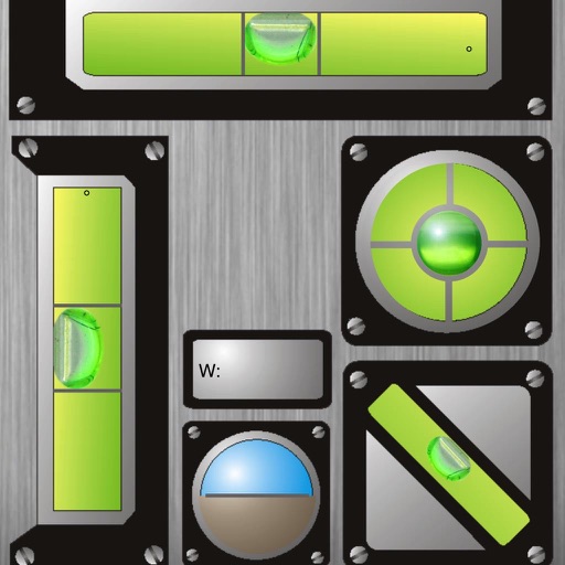
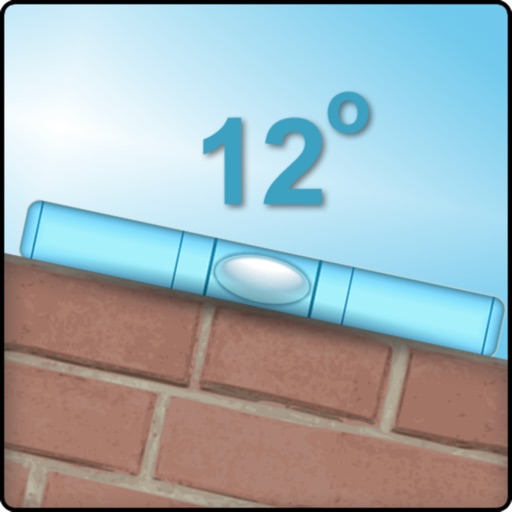
The app displays horizontal and vertical bubble levels, 45° indicators, and total angles. It also includes an artificial horizon and a ruler in cm and inches.
by Kai Bruchmann★ 5.01 ratingsUtilities$0.99Data updated 2026-09-13
Reduce photo size using 10 predefined levels or custom dimensions. Crop images to any position and size. Rotate photos in 90-degree increments or straighten them. Adjust orientation and export edited files.
Data captures , gyroscope, and magnetometer readings in real-time. Displays values along axes and rotation speed. Graphs behavior. Allows email sharing of collected data.
Use to view a digital overlay. Navigate using GPS for real-time directions. Check accuracy based on device sensors. Adjust orientation for precise navigation.
Calculate weight and volume using width, length, and thickness. Input measurements in feet/inches or metric. Includes aggregate and asphalt calculators with precise results. Features high visibility text for direct sunlight use.
Calculate standard deviation, probable error, and error of the mean for surveying and civil measurements. Switch between imperial and metric units. Perform calculations for series of observations and single or combined accidental errors.
Calculator provides tools to analyze and convert and Civil parameters. Users can calculate critical bending moments for rectangular, open, and nonuniform cross sections. Additional calculators for stress and deflection are available via in- purchase.
Flip clock allows users to toggle between 24-hour and 12-hour formats. Add a pomodoro timer for focused work sessions. Choose from various white noise backgrounds. Adjust screen orientation settings. Display or hide weather information.
Measure lengths, widths, depths, surface areas, and volumes using spatial tools. Resize tools to calculate dimensions automatically. Use horizontal and vertical levels, box, sphere, cylinder, and cone shapes to assess physical spaces.