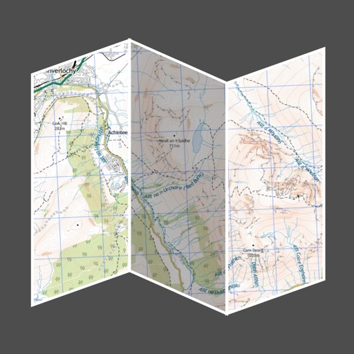
Turn your iPhone or iPad into an outdoor GPS or marine chart plotter. Use detailed Topo maps or NOAA marine charts for navigation. Access maps offline without a network connection. View GPS location without mobile signal.
by Memory-Map, Inc.★ 4.552 ratingsNavigationFreeData updated 2026-09-08
Records and displays real-time location data. Users can monitor distance, speed, and duration during activities. It supports multiple modes including walking, running, cycling, driving, and boating. Live tracking shows routes on a map.
Navigate with route suggestions and public transport
Navigate streets and public transport routes in Cochabamba with full door-to-door guidance. Choose between buses, micros, or trufis. Get multiple route options and search for streets, crossings, or points of interest.
Navigate the New Jersey Transit Rail System without internet. Check live train status and track locations. Find nearby stations and view a clickable map. Access advisories, fares, and notifications. Set alarms and view transfer times.
Create and share by drawing routes and adding markers for campsites and start points. Collaborate with others to edit and view in real time. Navigate trails, track progress, and receive turn-by-turn directions.
The app records and shares GPS coordinates and field notes. It tracks user movement and provides GPS location services in multiple formats, including MGRS.
Search for activities by location or place. Filter options allow customization based on interests. View results on a map or in list format with brief descriptions. Access detailed information, maps, and GPS directions.
Tracks workouts with time, distance, elevation, speed, calories, cadence, and heart rate. Provides voice cues and heart rate zones. Detects accidents and sends SMS with location. Offers private live tracking on a password-protected site.
Create and manage travel tracks with waypoints. Import and export maps in .gpx format. Use with unlimited storage. Access background barometer and pedometer data. Display color gradients for speed and height.
View current speed with a scalable . Track total distance and trip data including max and average speed. Export trip data as GPX, CSV, or KML files. Receive alerts when speed exceeds or falls below set limits.
View topographic maps of New Zealand's . Locate current position via GPS. Search for place names. Access map data offline without cellular coverage. Display detailed terrain and geographical features.