

Apps Like Skyhost GPS for iPhone and iPad
View GPS units in real time
View GPS tracking units from on your iPhone. Display unit list with current location and status. Tap a unit to see its location on a map. Access real-time tracking without logging into the website.
Skyhost GPS screenshots
Ranked alternatives
Showing 301–320 of 1,000 ranked alternatives.

Torque Unit Converter
Kei Suefuji
Convert values between units
Convert values between 9 units including newton-meters, kilogram-force meters, pound-feet, and ounce-feet. Enter a value and select the to see conversions in all supported units.


RIOSLiTE
SYSTEMS ENGINEERING TECHNOLOGIES CORPORATION
Connect radios and computers anywhere.
The app connects Apple iOS devices to radios or personal computers using the SyTech Radio Interoperability System. It extends radio system range and offers unlimited communications interoperability over a carrier network.


WX Course
Alejandro Martinez de Carvajal
Track GPS data and compass direction
Track GPS data including , speed, latitude, longitude, and signal accuracy. View real-time compass with COG data for S0, S1, S2, and S4. Receive data from iPhone while using Apple Watch.
Deed Calls - Area - Perimeter
Corvallis Microtechnology, Inc.
Convert property descriptions into maps.
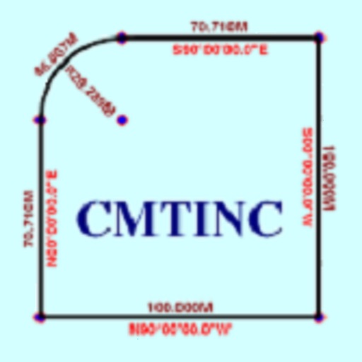
The app converts real property descriptions into boundary maps. Users enter angles and distances to draw property boundaries, displaying closure error, total area, and perimeter.

MetroView GPS Navigation
MetroView Systems Pty Ltd
Turn-by-turn navigation for Australia New Zealand.
The app offers turn-by-turn navigation for Australia and New Zealand with offline map data. It includes SpeedAlert for national speed limits, school zones, and time of day, along with CarPlay support and HERE live traffic.

IntelyseYou
Sicuro Group LLC
Track personnel locations securely
Organisations can monitor travelling personnel with encrypted location tracking. Users can send precise location via check-in button or panic button. Receive messages from the platform even when the is not open.

caradio
Soundmax Electronics Limited
Control car functions remotely
Control car functions with wireless radio access and hands-free iPhone operation. Adjust audio sources between iPhone and car head unit. Monitor GPS usage impact on battery life.
Deed Calls & Stakeout
Corvallis Microtechnology, Inc.
Convert property descriptions into maps.
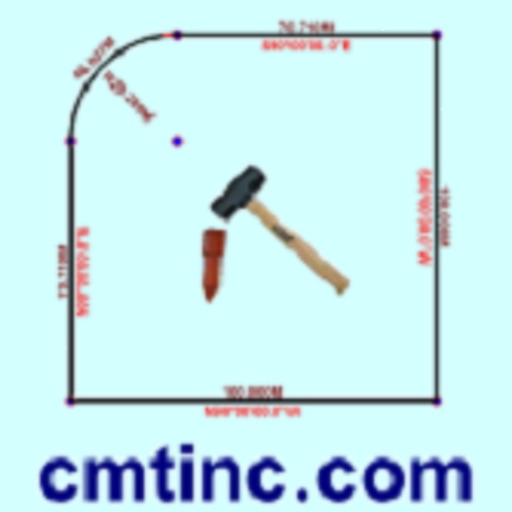
The app converts real property descriptions into boundary maps, displaying angles, distances, closure error, area, and perimeter. It offers stakeout functions for deed plots and individual points, with optional navigation beeps and GPS toggling.


Parkarr
Parkarr LLC
Find parking spots and connect with drivers
Find available street parking spots in your area or another neighborhood. Connect with drivers looking for parking. Search for open spots and book them. Earn points by hosting spots and lose points by finding them.


SHU Safe
Sacred Heart University, Inc.
Contact public safety quickly and easily.
The app allows users to quickly contact the University's public safety department during dangerous situations. Users can send text messages, photos, and videos to the department.

Radar Toolkit
Radar Labs, Inc.
Test geofences and track trips
Monitor geofence status and events in real-time. Track regions, beacons, and trips. Receive notifications for background events. Test fraud detection features. View detailed state information for all tracked locations.



TactiTrack GPS
Jamie Noplis
Track GPS devices in real time
Track GPS devices in real time with live updates. Set geofences and receive motion detection alerts. Access Streetview for location details. View device history and manage settings remotely.
How we rank alternatives
Apps are ranked by functional similarity, category fit, rating confidence, and popularity.