

Apps Like Wheresit - Compass & AR Radar for iPhone and iPad
Offline navigation with GPS and compass.
The app provides offline navigation using GPS and compass data. It features an augmented reality mode for overlaying target locations and a radar view to see nearby points of interest.
Wheresit - Compass & AR Radar screenshots
Ranked alternatives
Showing 321–340 of 1,000 ranked alternatives.
Compass Map@
yuan hung Huang
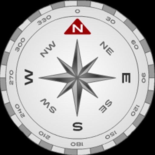
Map and compass with GPS data
The app displays GPS information including address, latitude, longitude, altitude, and speed on a map. It also shows directions for north, south, east, and west, along with true and magnetic north.
Aircraft Heading
Sean Flanagan
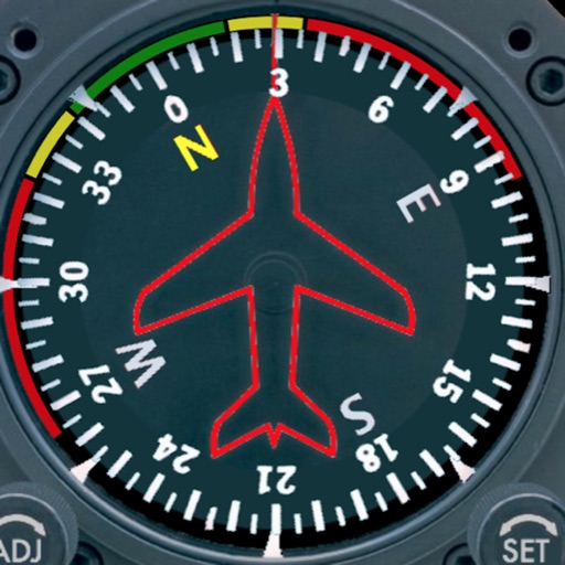
Track with realistic indicator
Displays a photorealistic -style indicator with both analog and digital readouts. Users can toggle rotation lock, simulate the instrument indoors, and view improved graphics. Supports latest iOS versions and includes bug fixes.


Military Compass+ Lite
Elen Bekzadyan
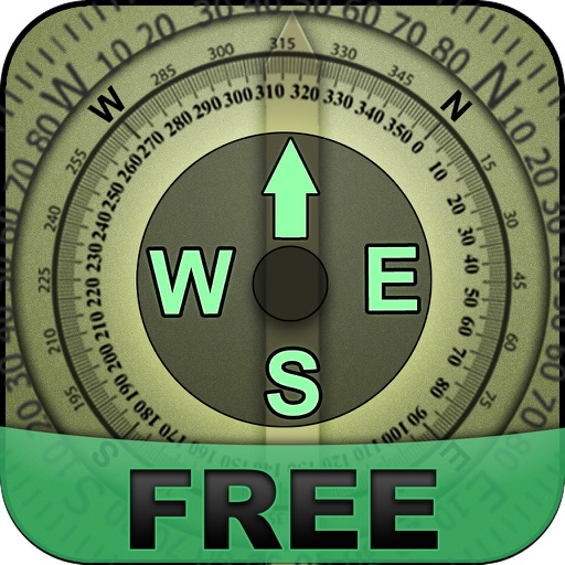
Track orientation with real-time compass data
Provides real-time device orientation based on magnetic fields. Allows switching between true and magnetic north. Displays compass direction and azimuth. Includes declination information. Offers tilt sensitivity settings.

Simple Golf GPS
Mobile Software Design, LLC
Track course markers and distances
A GPS for golfers allows users to lock the screen by pointing at the green. Set markers to measure distances between points. Multiple markers can be placed and adjusted. Zoom in and out using pinch gestures. Demo mode is available for practice.

iPozemky
Jiri Kaminek
View cadastral information about parcels
The app provides a comfortable interface for viewing cadastral information in the Czech Republic. Users can find details about objects and parcels, including area, owners, and protections.



Landmark Hunt
Victor Schinazi
Explore locations, capture photos, and track
Explore surroundings by photographing landmarks and estimating distances. Reconstruct environments from memory. Track spatial memory progress with interactive challenges and feedback.


GPS Fields Area Measure App
Gohel Prakashbhai
Areas, track routes, and navigate efficiently
Calculate distances and areas using GPS. route lengths and track movement. Access GPS Camera, Compass, and Speedometer for navigation. View Satellite, Normal, Terrain, and Hybrid maps. Locate nearby points of interest and monitor live positions.


Compass XL
Piet Jonas
Adds a compass to the iPad.
The app adds a compass to the iPad, utilizing the built-in magnetic compass or a sun compass. It is suitable for outdoor activities like hiking and biking.
How we rank alternatives
Apps are ranked by functional similarity, category fit, rating confidence, and popularity.