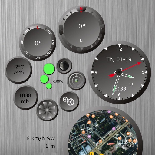
Displays direction and heading using device hardware. Features a large, easy-to-read interface. Shows compass rose and current orientation. No additional features or settings provided.
This displays directions in Japanese or English with a single tap. It shows 16 directional points, precise angles in degrees, and supports switching between cardinal names and abbreviations.
APPAS SOLUTIONS, SOCIETATEA CU RASPUNDERE LIMITATA
Capture in 45x view
Take photos with 45x digital . Pinch to in or out. Manually focus and capture zoomed images. Access a secret folder for secure storage. Use compass to determine cardinal directions. View GPS coordinates from GLONASS system.
Identify and name mountains and peaks using a 360° panorama view. Access offline maps with detailed peak information. View over one million mountain names and locations worldwide. Navigate without an internet connection.
Track speed and trip data using GPS. Switch between km/h and mph. View odometer, average, and maximum speed. Check outside temperature and weather. Receive audio and visual alerts for speed limits. Use compass and customize display color.
A displays cardinal directions and uses GPS to determine location. It features a realistic virtual interface, shows geographical directions, and helps users navigate effectively.
View high-definition 3D globe and latest satellite imagery. Load map tile data for detailed terrain and urban features. Use oriental compass for direction. Access historical street view for past locations. Measure area and distance on .
Track speed with a graphical dashboard and analog/numeric display. View current location, weather, and temperature in Celsius or Fahrenheit. Switch between kilometer and mile units. Customize dashboard colors and use an analog compass.
Displays direction and heading in a large, readable format. Allows users to select a background and arrow style. Points to determine current direction and heading.
Uses AR to display directions in real environment. Mark locations, addresses, and altitudes in surroundings. Record and screenshot navigation moments. Requires location services for accurate functionality.
Coordinates can be viewed and shared via decimal degrees, degrees-minute-seconds, degrees-minute-decimal, UTM, and military grid systems. Users can tap a map to retrieve coordinates and directions.